|
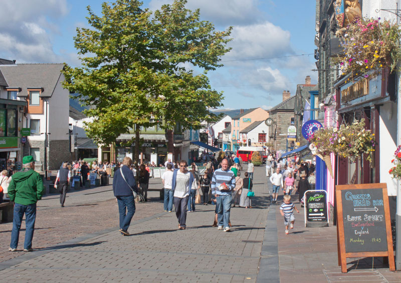
We started the walk from Keswick's bustling market place (even more bustling on market days). Walk north west along Main Street, leaving the pedestrian area and walking on the pavement at the left hand side of the road.
If you wish to shorten the walk by about 1 mile, then you could walk in the opposite direction,
following the signs to the lake shore, where you could take the launch to Nichol End.
To shorten the walk even more (by approx. 2Όmiles) you could take the launch to Hawse End.
|
|
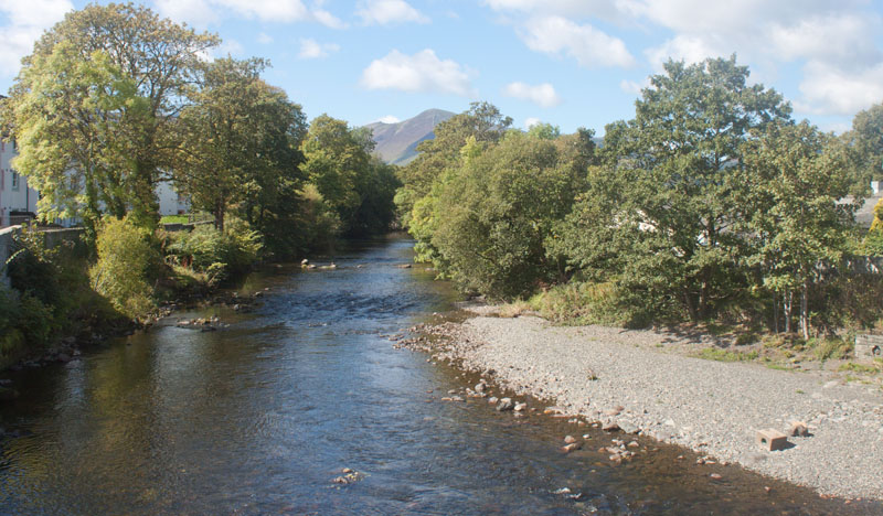
The road crosses Greta Bridge - the picture is the view looking west from the bridge). Directly after crossing the bridge
take the footpath down to the left (signposted for Portinscale).
|
|
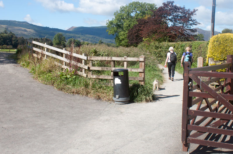
Immediately behind the building (an Italian restaurant) bear right to follow the narrower path.
|
|
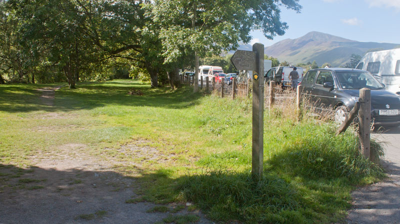
The path crosses a flat, grassy area between wire and post fences. Turn left just before it joins an unclassified road and walk through a wooded area ..
|
|
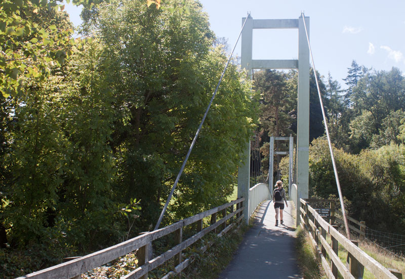
crossing this suspension bridge.
|
|
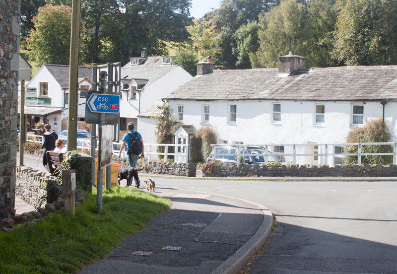
You meet a road which leads past a hotel on the left, before joining the main road through Portinscale. Turn left, passing the Chalet
(which is on the right hand side of the road). Follow this road for about half a mile
|
|
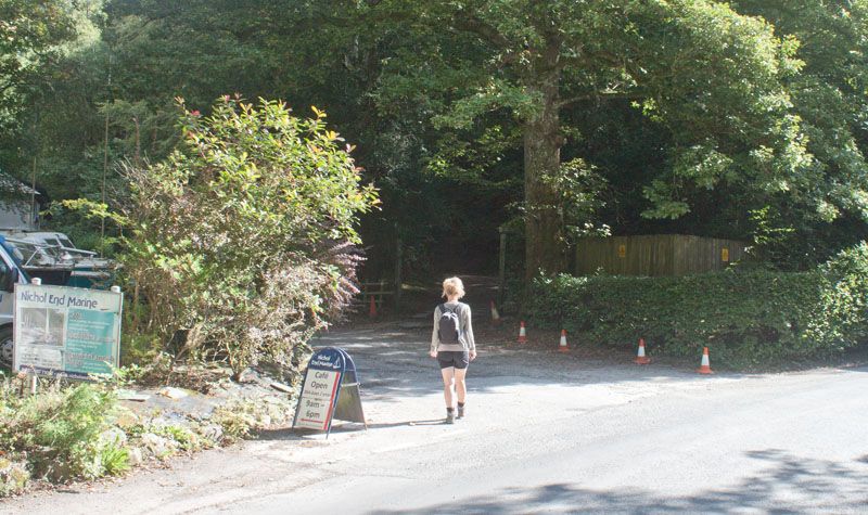
until reaching the drive down to Nichol End Marina. Turn left, towards the lake.
|
|
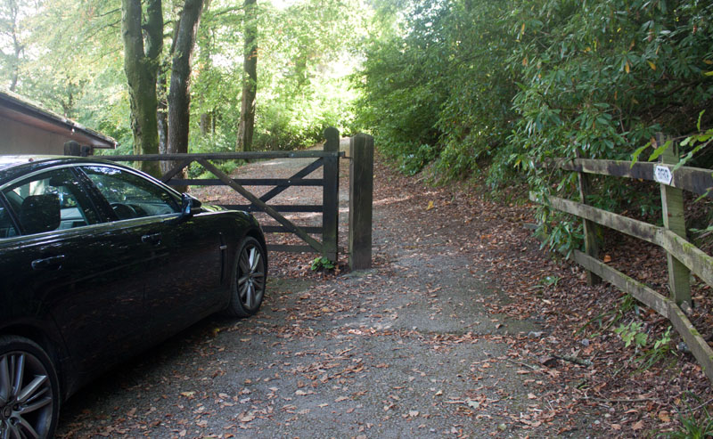
Turn right just before the Marina buildings (if you have shortened the route by catching the launch to Nichol End,
you will approach from the landing stage and turn left here).
|
|
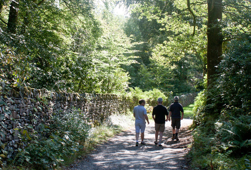
After only a few yards, turn left to walk along a wide track with a fence, then wall on
left and open to woodland on right.
|
|
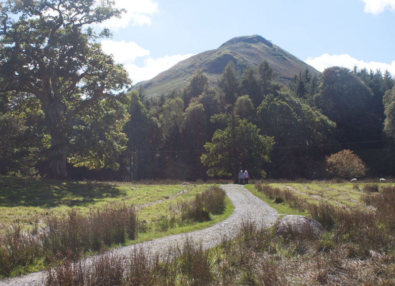
Continue along the track. After nearly a mile you go through a gate leading to a short, open section of track. This provides a good view of Catbells.
Pass through a narrow wooden gate, cross a bridge and re-enter woodland.
|
|
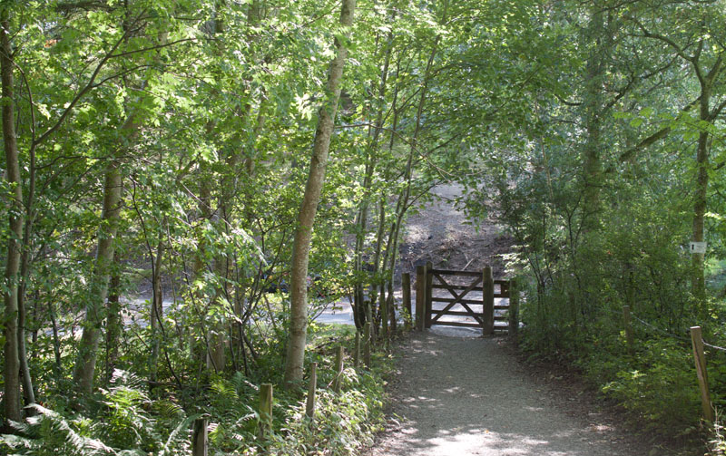
Going through the gate pictured brings you to a junction of paths - follow the path almost straight ahead, signposted for Catbells.
If you have shortened the route by sailing to Hawse End, you will walk up from the landing stage on
the track you can see on the other side of the gate - so you will need to turn left.
|
|
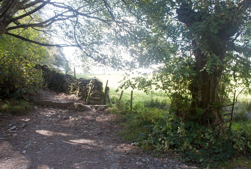
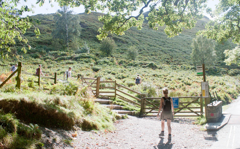
The path leads up through woodland to
|
|
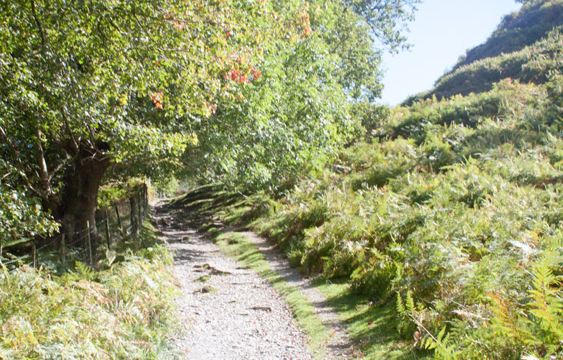
meet a minor road. Walk up the shallow steps and through the narrow wooden gate (pictured).
|
|
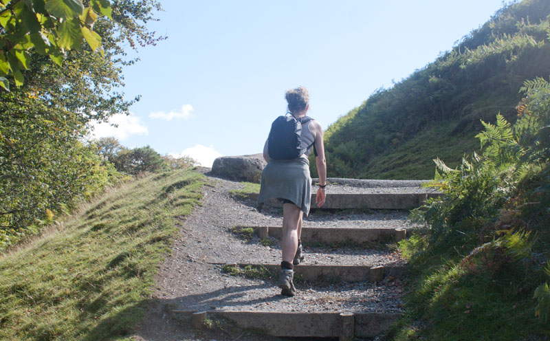
This short track leads up to
|
|
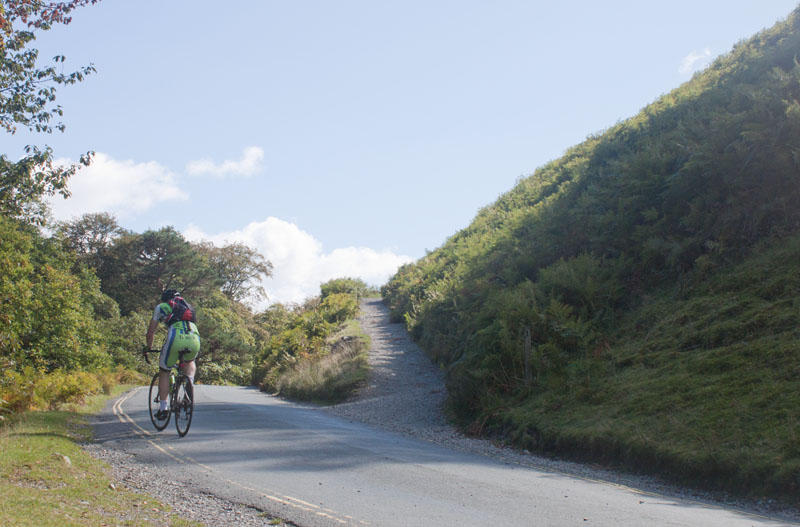
steps. These bring you out on to the road. Turn left
|
|
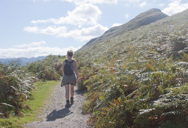
Cross the road and bear right up the stony bridlepath.
|
|
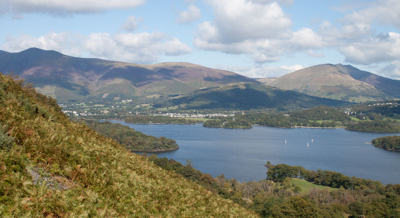
The view from the summit may provide the best panoramic views - but the views from part way up can be just as stunning - sometimes even more spectacular,
as they are framed by the higher peaks.
|
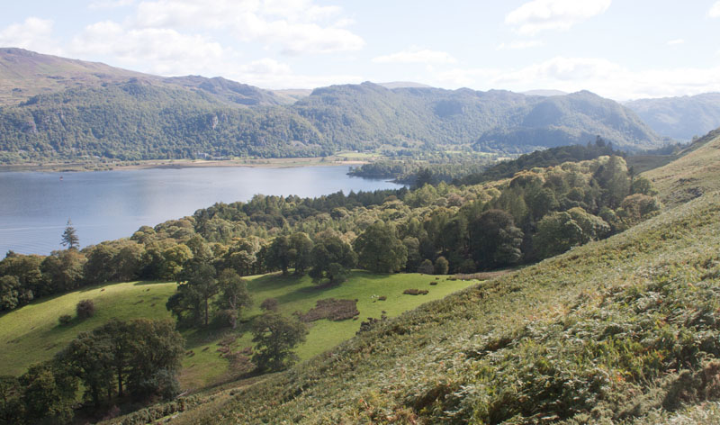
| The view to the south and Borrowdale
|
|
and back over your shoulder to Keswick and beyond.
|
|
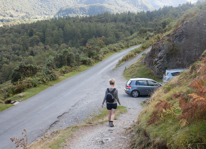
After about a mile the fellside path re-joins the road. Cross the road and descend the steps opposite.
|
|
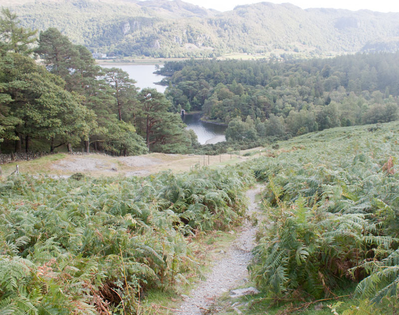
This narrow path is the steepest section of the walk.
|
|
The route winds down towards woodland by the lake shore.
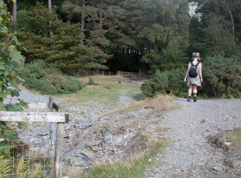
Here is the first opportunity to shorten the walk:
- If you wish to return directly to Keswick, pass through the gate and walk down to the landing stage at High Brandelhow (launches every 30 minutes during high season - but if you plan to end your walk here, do check the times).
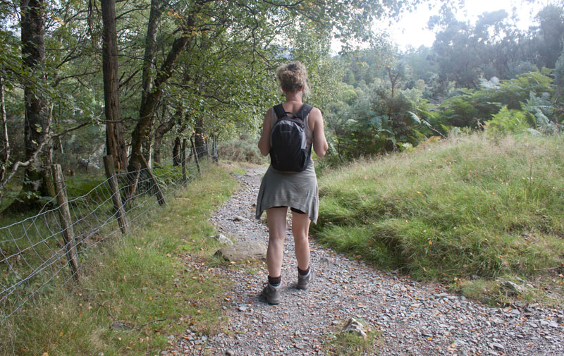
- To continue walking go towards the gate, but instead of going through, turn right to follow the fence.
|
|
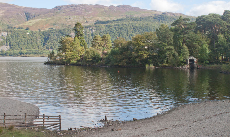
Follow the narrow path alongside the fence
|
|
then skirting Brandelhow Bay.
|
|
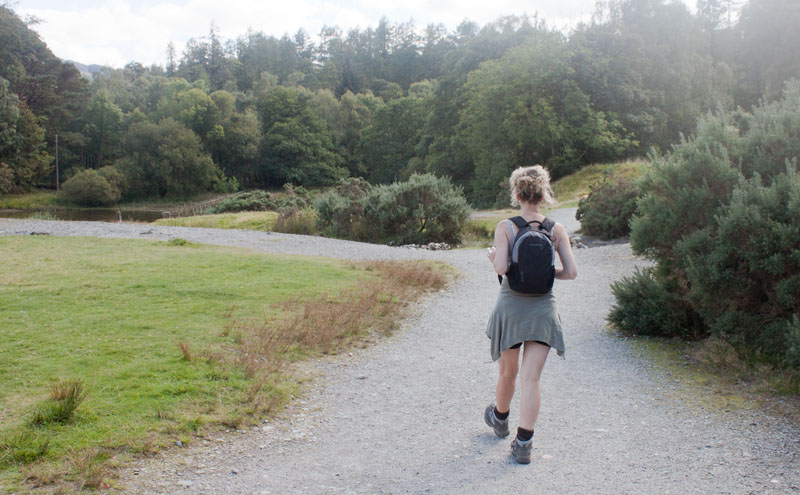
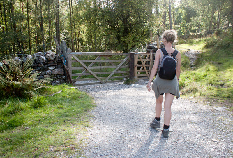
Continue ahead at the junction of paths shown in the photograph
|
|
and continue through the gate.
|
|
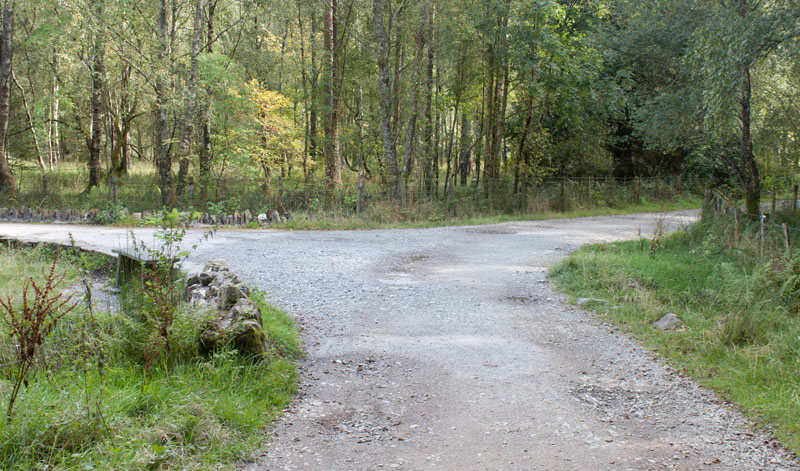
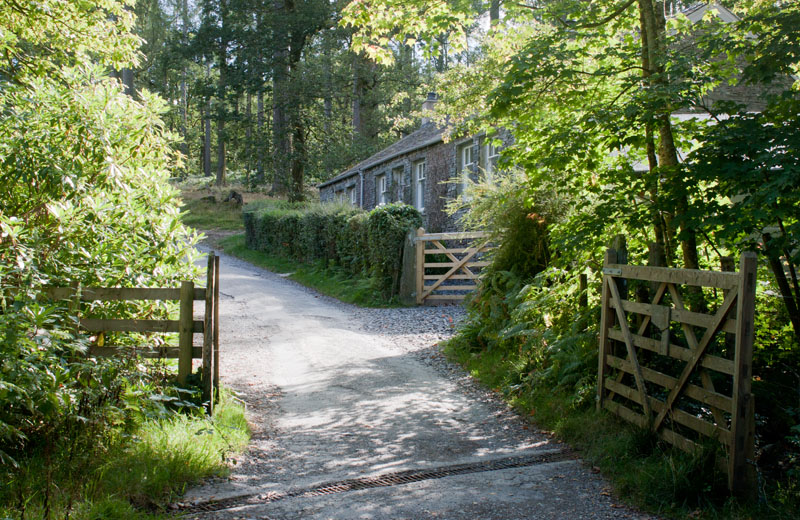
Bear right
|
|
and walk towards the cottage - then take the path on the left.
|
|
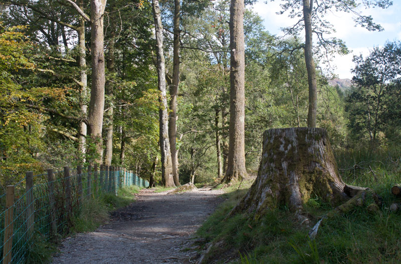
The path leads through woodland ...
|
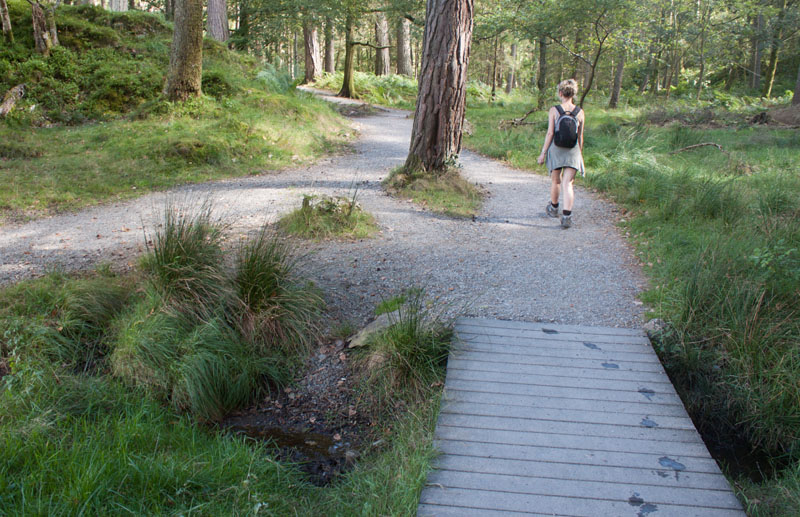
|
to cross this bridge.
|
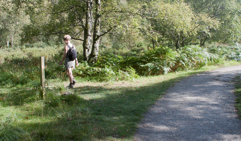
|
We left the main track, following the narrow path
|
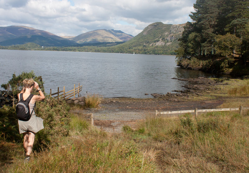
|
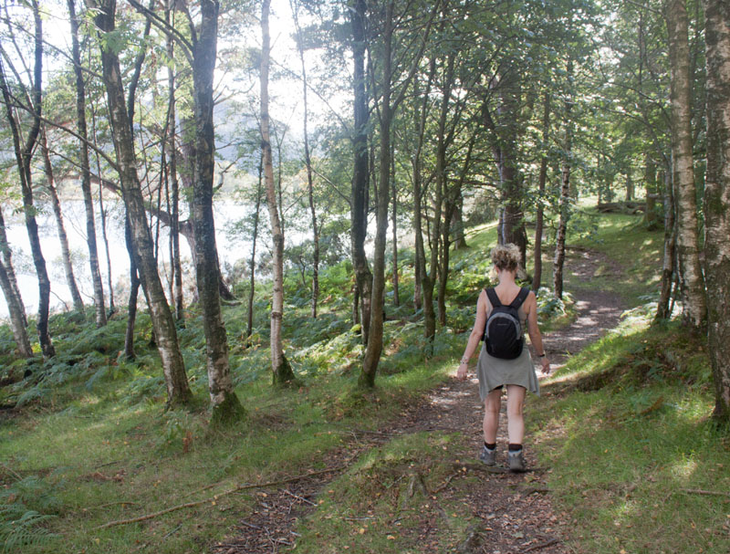
to skirt the headland between Myrtle and Great Bays.
|
|
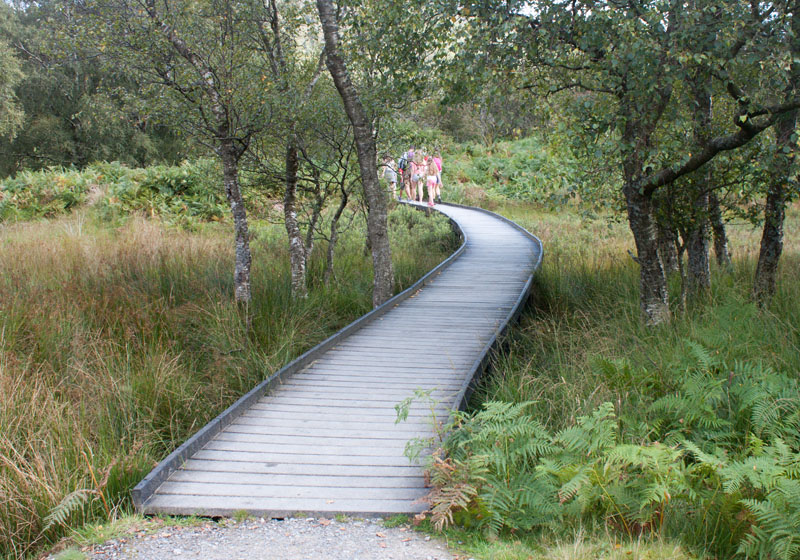
this path isn't always clear, but never strays too far from the lake shore, before rejoining
|
|
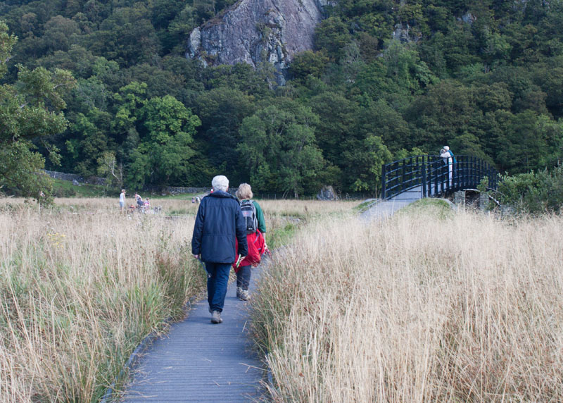
the main path just before a long section of boardwalk.
|
|
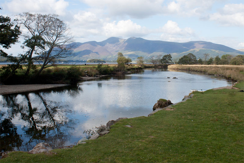
The track leads to the bridge
|
|
over the River Derwent
|
|
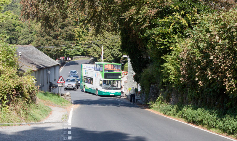
then turn left to walk along the road for about 200 yards to the bus stop opposite the Lodore
Falls Hotel.
If you wish to extend the walk and return to Keswick by the launch, follow the road a little further.
Just beyond the hotel, go through a kissing gate on the left and follow the path to the landing stage.
If you are feeling particularly energetic, there are footpaths which run close to the road for most
of the way back to Keswick. The first of these is to the right of the road, just beyond the Lodore
Falls Hotel. When this path re-joins the road, walk along for a couple of hundred yards, then look
out for a path on your left. This follows the lake shore more closely than the road. At a junction
of paths near the Ings, you can turn left to walk through a small area of woodland and following the
shore path back to the landing stages, or carry straight on to re-join the road back to Keswick.
|
All text and images ©Graham Dean, November 2014.


