|
Go straight to the third section if you have parked at Craigleith Retail Park.
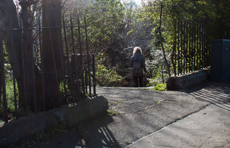
If you have arrived at the start by bus, continue walking along Queensferry Road away from Edinburgh city centre. Turn first left into Craigleith Crescent, then left again to go through the gap in the railings (shown in the photograph).
|
|
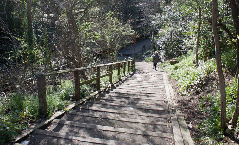
Descend the steps and turn left onto the disused railway track.
Continue to junction of tracks (skipping the next section which gives directions to those starting the walk from the retail park).
|
|
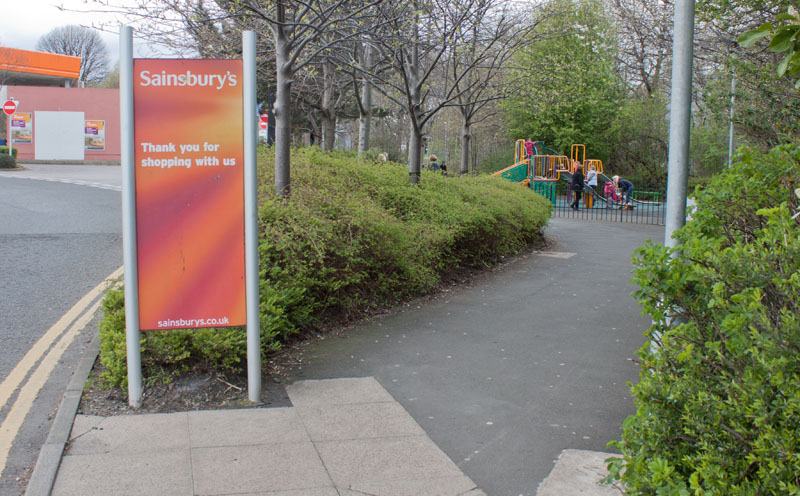
If you park on the retail car park, walk towards the Sainsbury's petrol station, then take the footpath to the right, walking past a small playground.
|
|
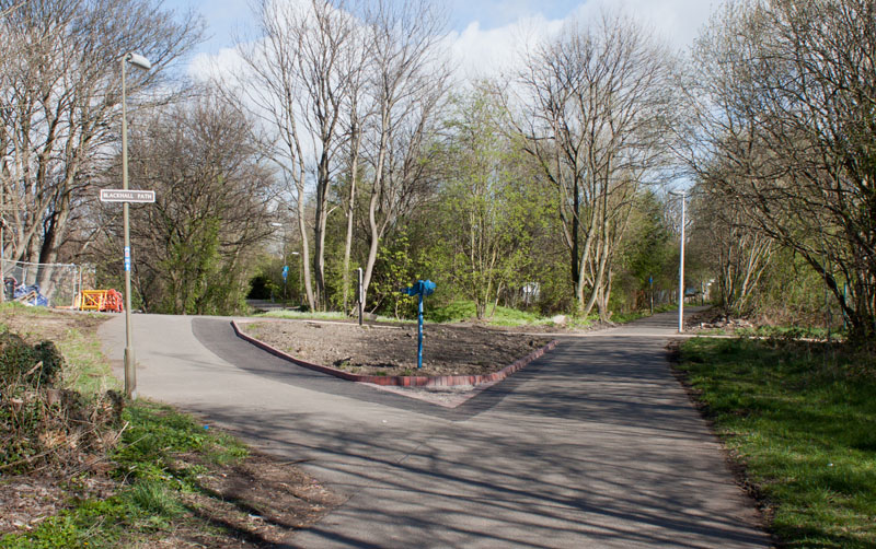
This is the view you will see if you started from the bus stop. Those joining from the retail park will come in from the path on the right.
|

|
Follow the Blackhall Path under a couple of bridges - the picture shows the graffiti under the first of these (is it art or is it vandalism?).
|
|
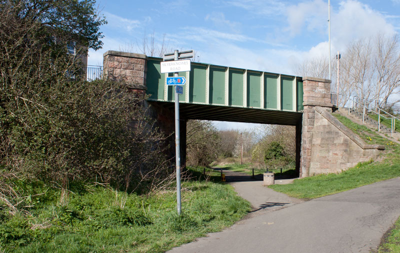
Where the main track bears right, take the narrower fork to the left, walking under the bridge shown in the photograph.
|
|
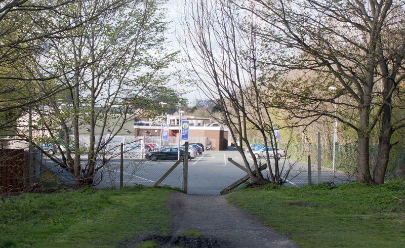
This emerges onto a Tesco car park. Stay to the right of the building and turn right onto Cramond Road South.
|
|
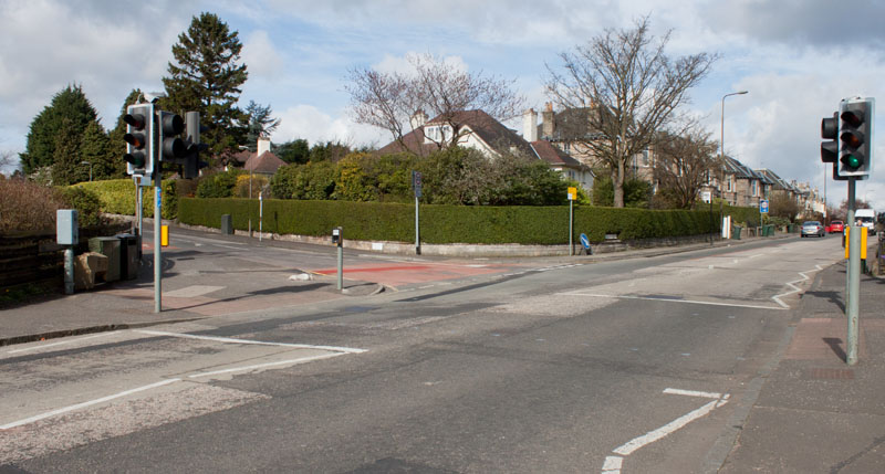
If you don't have time to explore the grounds of Lauriston Castle, then cross at the road here and turn left
into Barnton Avenue.
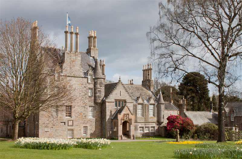
But to visit Lauriston Castle don't cross the road, just continue ahead - it really is worth visiting the castle grounds which are attractively laid out and provide excellent views over the estuary.
|
|
Turn right to follow the drive down to the castle. There is a Japanese garden to the left of the castle
entrance, and views down to the Firth of Forth from the back of the castle.
|
|
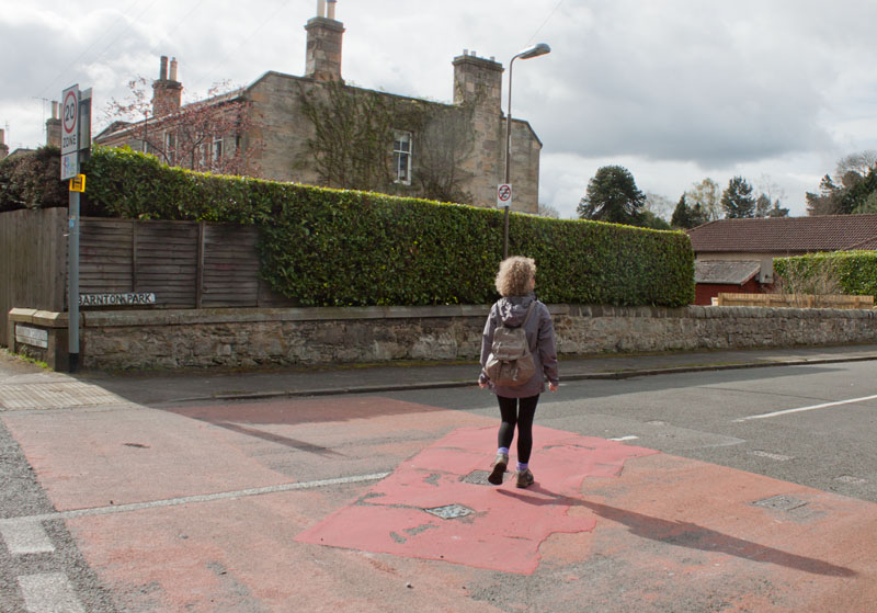
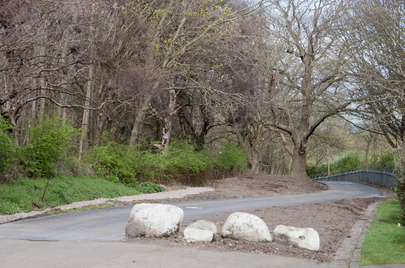
When you leave the castle grounds, cross the road and follow Barnton Park, which curves round to the left. Turn right at the junction with
Barnton Avenue which winds between some rather expensive housing to
|
|
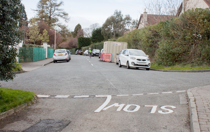
become a traffic free path leading down
|
|
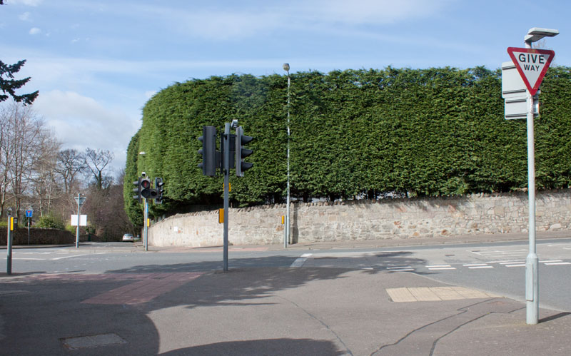
to emerge on Barnton Avenue West. Continue along the pavement ahead ...
|
|
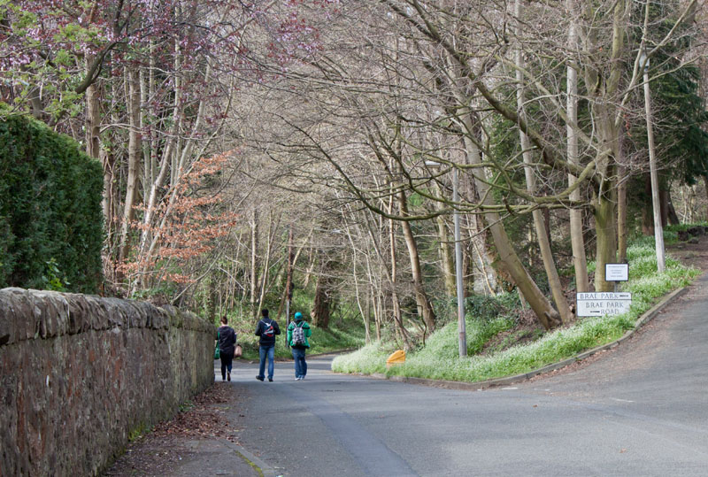
to traffic lights where you cross Whitehouse Road and walk down Brae Park Road.
|
|
Take the left hand fork, continuing along Brae Park Road.
|
|
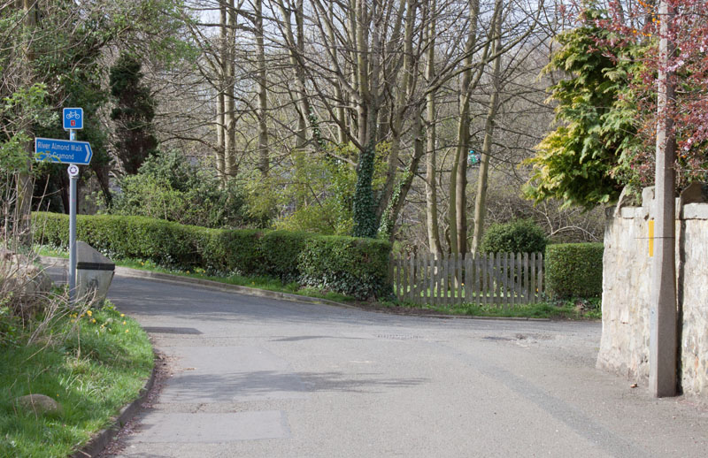
At the bottom of the hill, just before Cycle Route 1 crosses the river, turn right, following the sign
for River Almond Walk to Cramond.
|
|
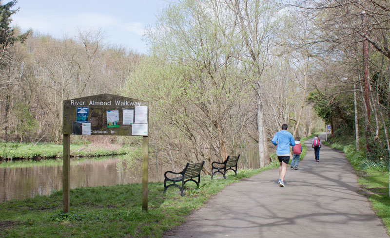
Continue along the east bank of the river
|
|
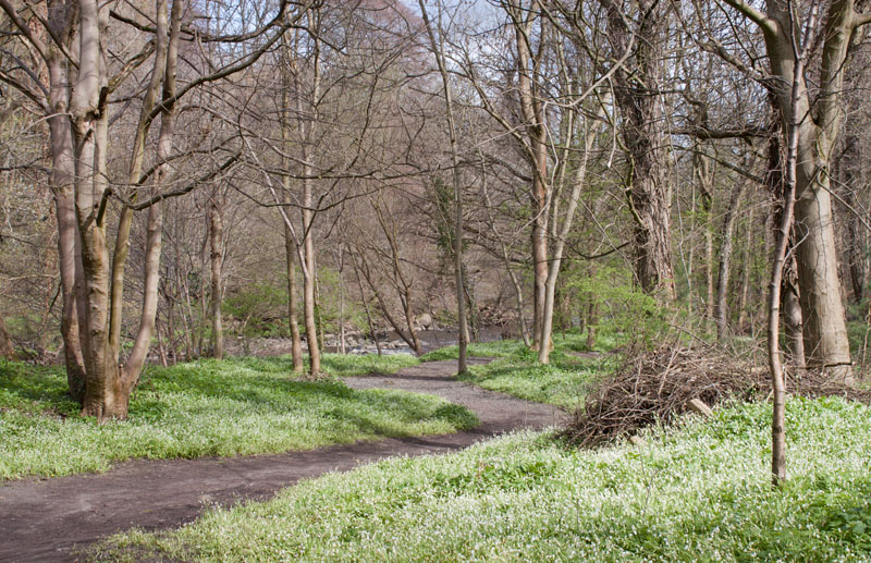
through pleasant woodland ...
|
|
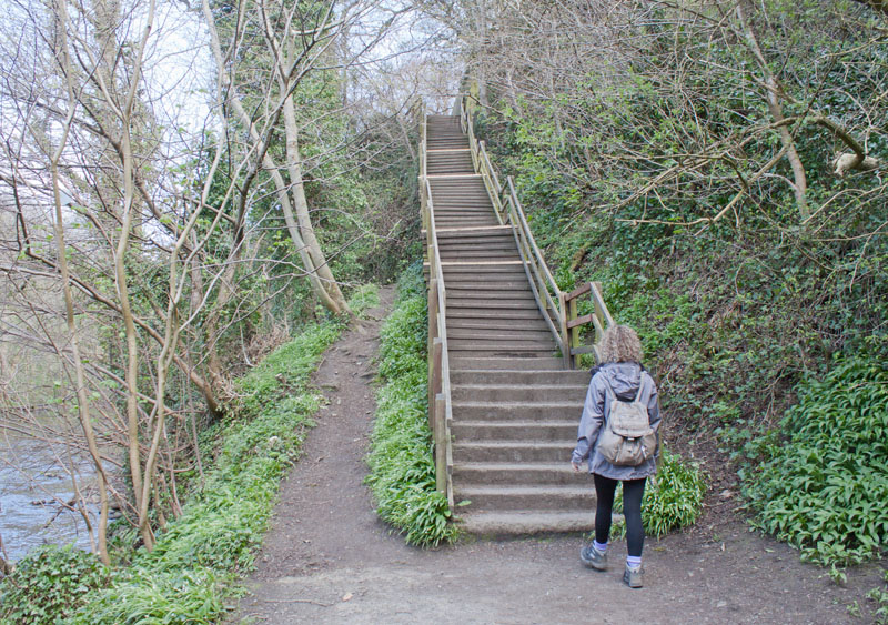
up a flight of steps and then down the other side.
|
|
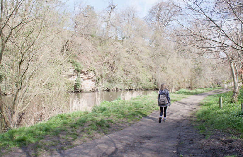
In the 18th century the valley was quite industrialised - from this picture it's hard to imagine -
but the weirs and ruins that you pass provide clues to the industrial past.
|
|
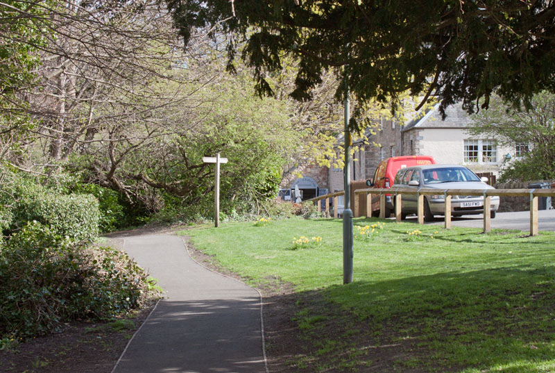
The path emerges on School Brae, next to the very welcoming Cramond Falls Café where we stopped for refreshment.
|
|
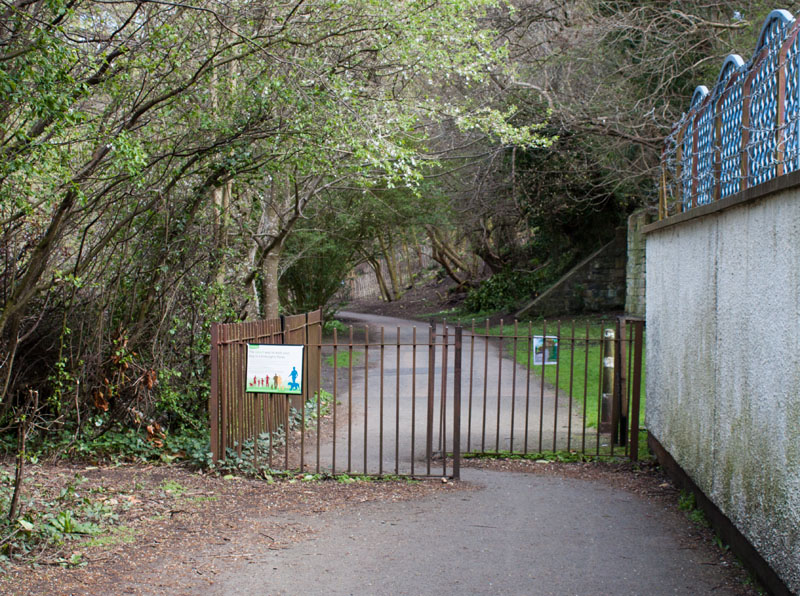
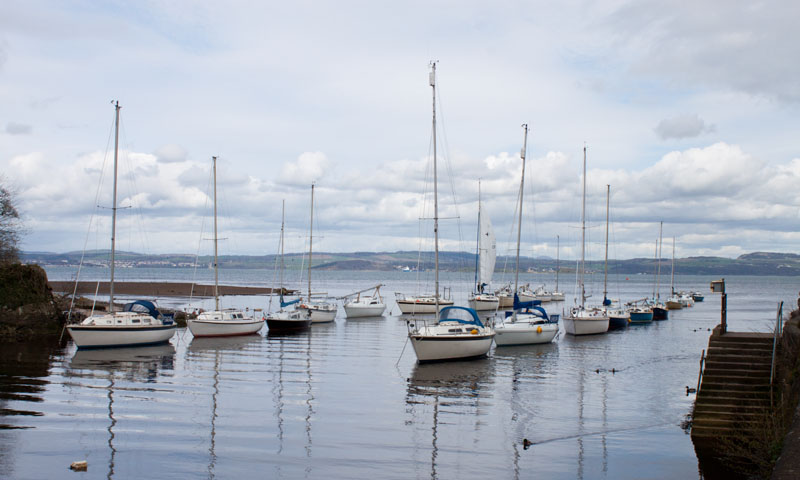
The path continues close to the river
|
|
past the sailing club
|
|
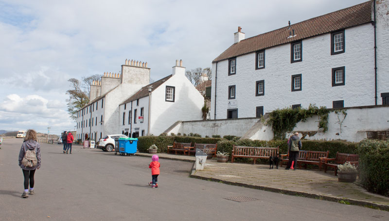
... and on to Cramond Village.
|
|
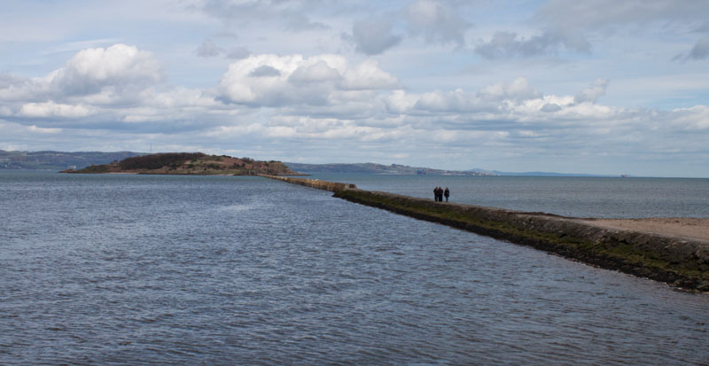
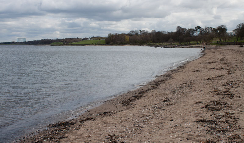
It was close to high tide when we were in Cramond - so it wasn't possible to go along the walkway to the Island. Instead
|
|
we walked along the beach.
|
|
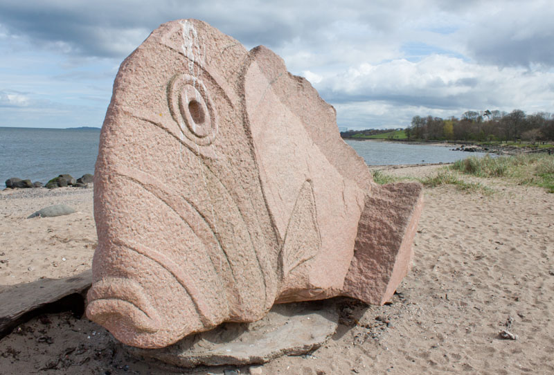
This sculpture, the Cramond Fish,
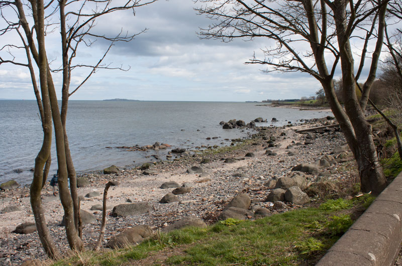
has been positioned at the eastern end of the beach since 2009. We left the beach at this point
|
|
to continue on the pavement along Silverknowles Esplanade.
|
|
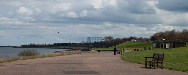
We continued following this broad, traffic-free path
|
|
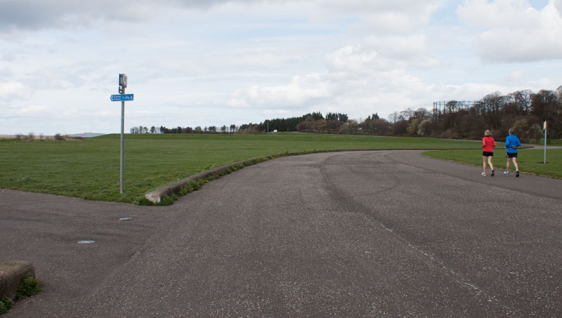
... eventually bearing to the right, away from the river.
|
|
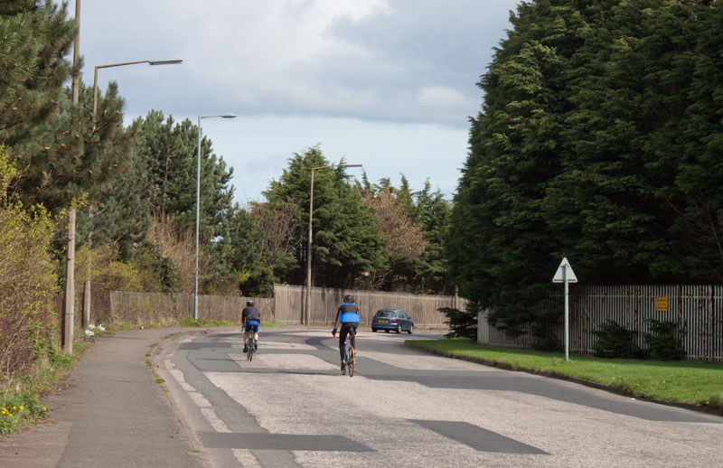
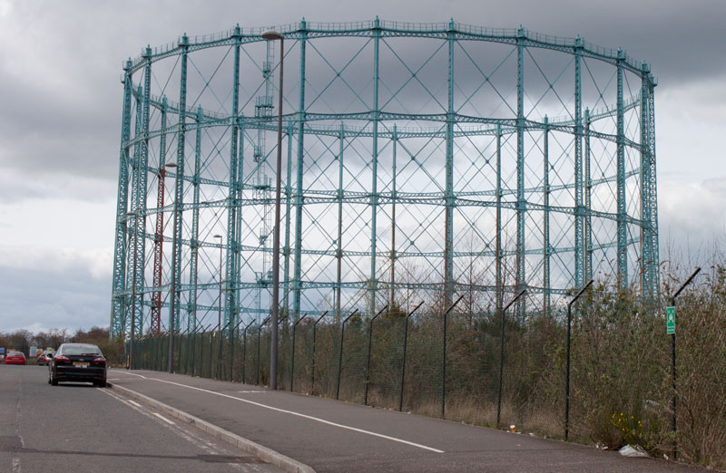
Turn left when the path meets West Shore Road. On the right is the site of Granton Gasworks, with the one remaining gasometer
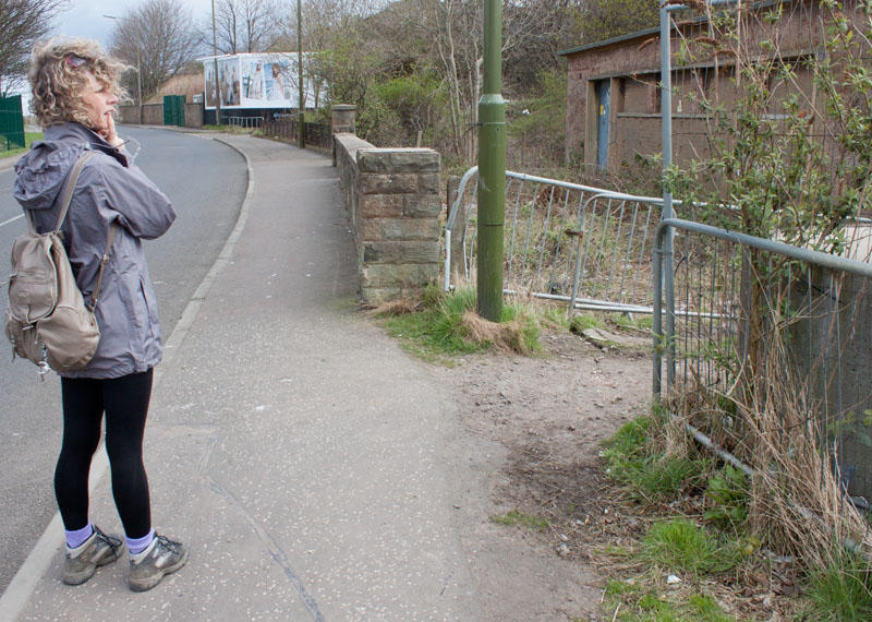
(now a listed building). Cross the road and look out for
|
|
a path on the right (as the area is being redeveloped, the appearance may change).
|
|
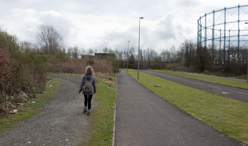
Follow the path up a slight incline and round to the left.
|
|
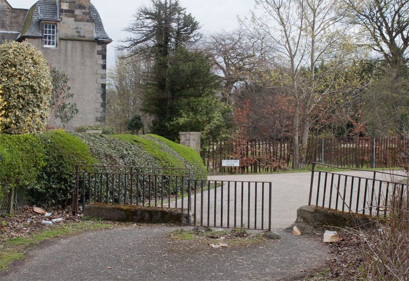
It emerges close to Caroline Park, another listed building.
|
|
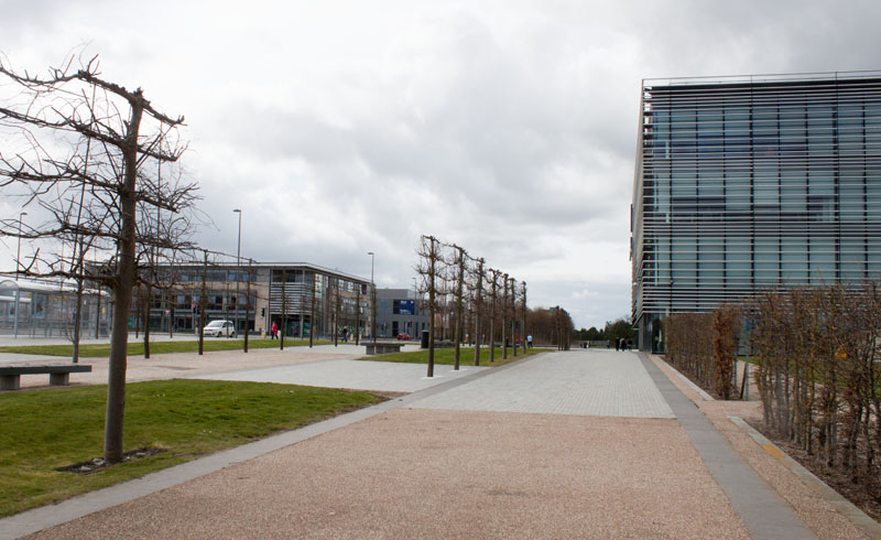
Follow the pavement alongside Caroline Park Avenue and the gasometer. Cross the road where the road turns sharply to the right and continue ahead on the path alongside the Scottish Gas HQ.
|
|
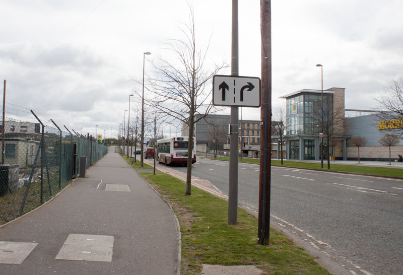
Turn right onto Waterfront Avenue, cross this road at the traffic lights and turn left onto
|
|
the cycle path alongside Waterfront Broadway.
|
|
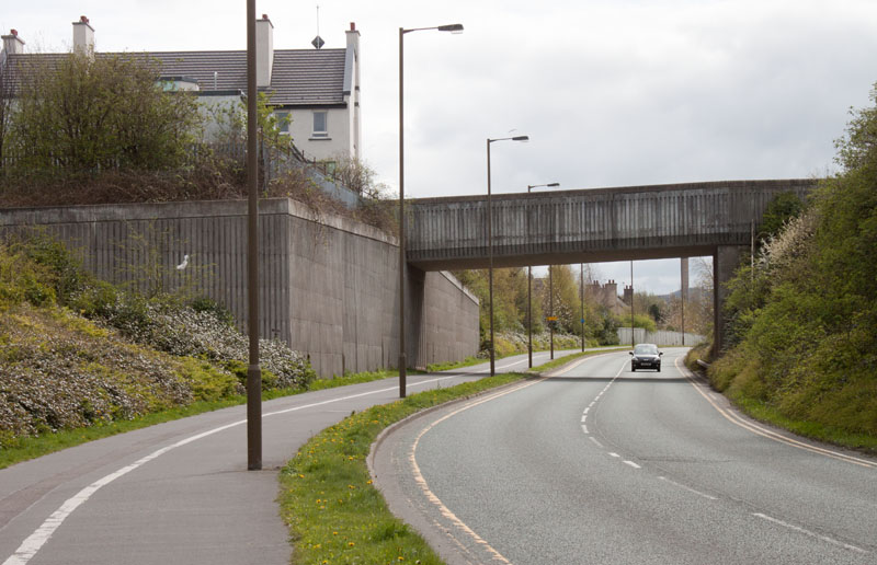
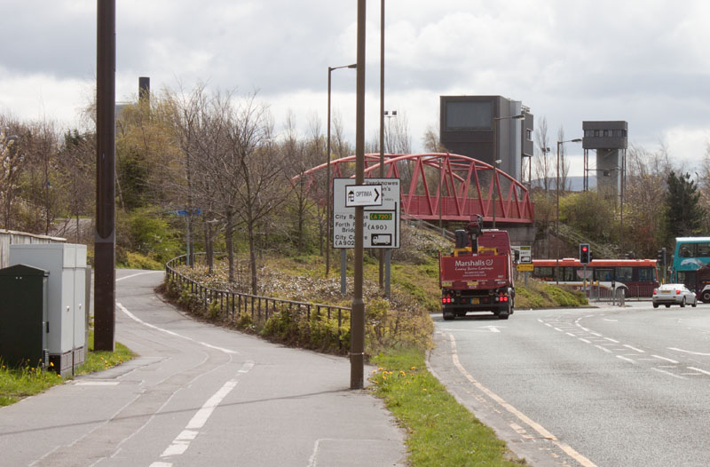
Cross West Granton Road and continue to follow the cycle path alongside the road, under the bridge pictured and
|
|
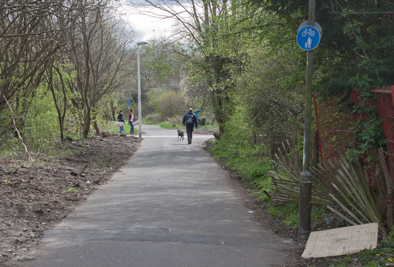
... carry on along the cycle path to join the Telford Path across the bridge shown in the photograph.
|
|
Continue along the Telford Path until you return to the junction with the Blackhall Path. Now retrace your original
route until ...
|
|
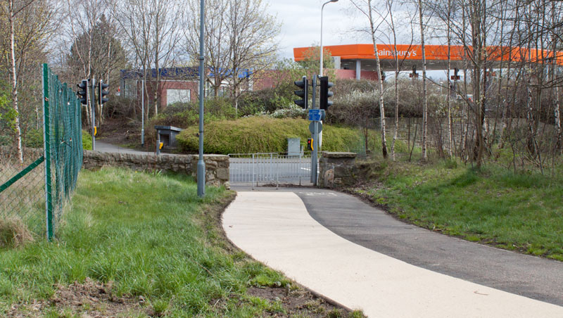
... you reach the path leading to the retail park. Turn left towards the back of the Sainsbury's petrol station.
If you parked at the retail park, cross the road and return to the car park. If you used the bus,
turn right along South Groathill Avenue, then right on to Queensferry Road to the bus stop. |
All text and images ©Graham Dean, February 2014.


