|
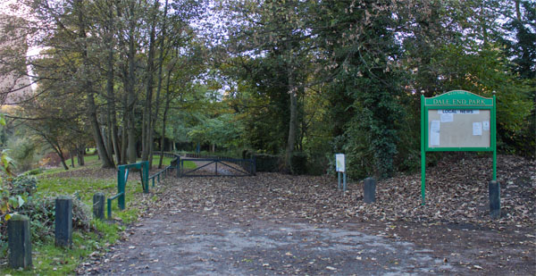
Leave the car park, walking towards the river and turn right to walk along the riverside path which takes you through Dale End Park.
|
|
|
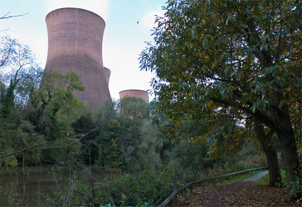
After leaving the park, the path continues alongside the river
|
|
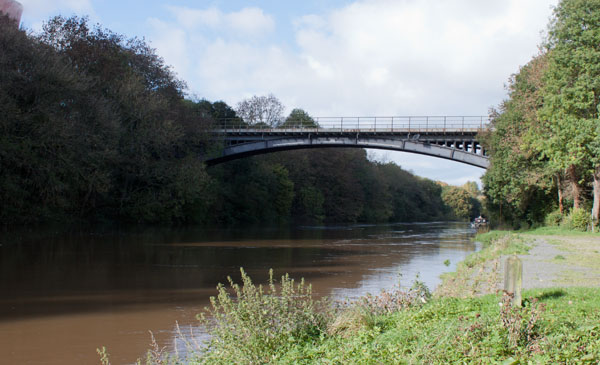
or at least the path should continue by the river. We walked this route after very heavy rain and the
river was higher than normal - just beyond the point shown in the photograph the path was impassable.
We had to return to this point (by Ironbridge Rowing Club) to continue walking along the road.
|
|
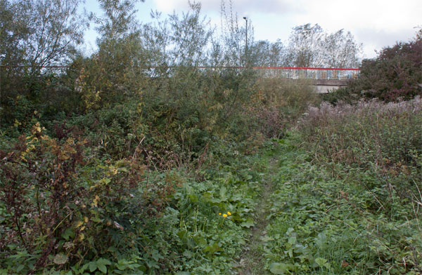
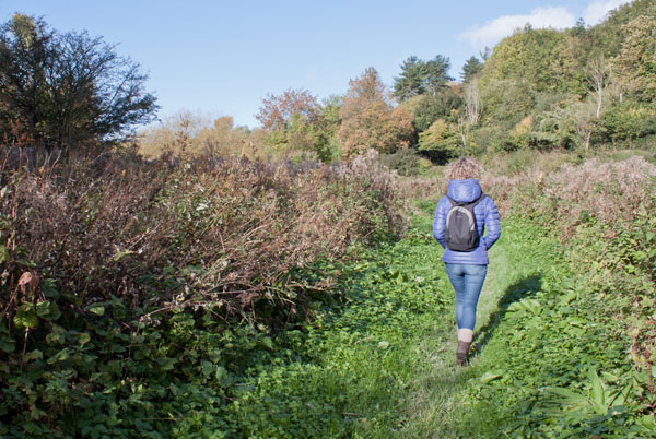
If the river path is clear, then this photograph shows the path as it leads under the second bridge.
If you have to divert from the path as we did, then you can rejoin the riverside path
|
|
just beyond the bridge.
|
|
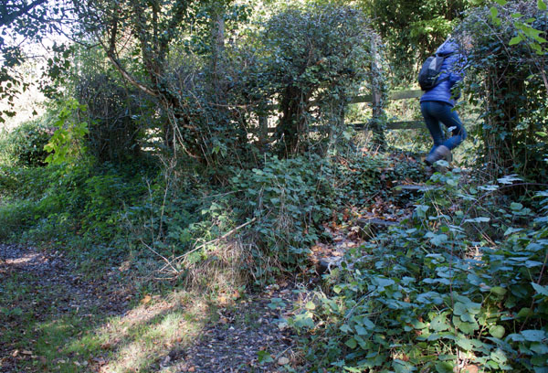
Where the path and road run close to each other, the path divides. Don't be tempted to continue along the riverside -
it's just an access path for fishermen. Climb the stile and turn left to follow the road.
|
|
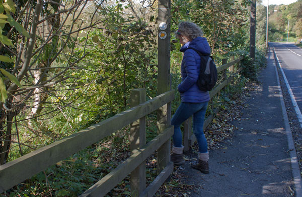
After a short distance a waymarker post indicates that you can turn left
|
|
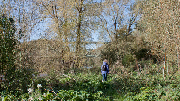
to walk alongside the river again. The path leads through a metal kissing gate to return to the road
just before the third bridge.
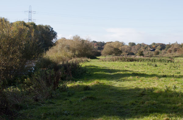
After walking past this bridge go through another kissing gate on the left.
|
|
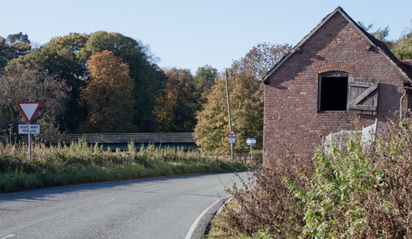
Another kissing gate leads out onto the road for a final time. At the junction with the A4196, turn left to cross the bridge.
Plaques from earlier bridges here are displayed across the road.
|
|
Another kissing gate leads out onto the road for a final time. At the junction with the A4196,
turn left to cross the bridge.
Plaques from earlier bridges here are displayed across the road.
|
|
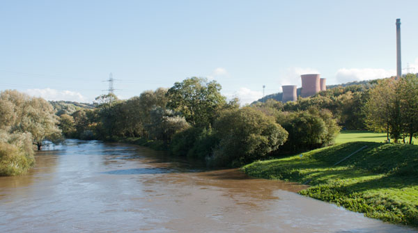
This view of the river looking downstream from the bridge shows that the river is higher than normal.
If Buildwas Abbey is open, it is worth detouring up the road and to the right to explore the ruins. Unfortunately the abbey is closed in October - so we continued walking.
|
|
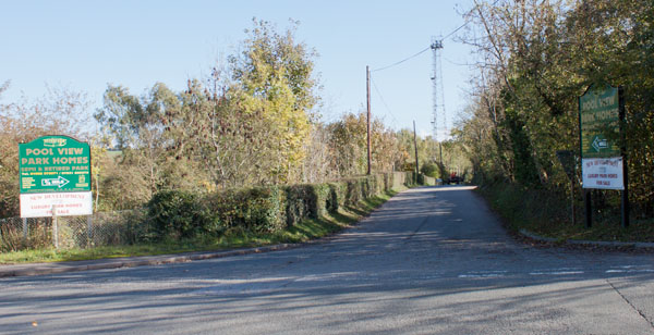
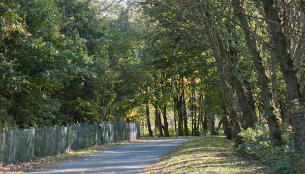
Shortly after crossing the bridge turn left down the road shown in the picture.
The OS map shows a footpath on the right after less than 100 metres. We did find steps and a marker post
|
|
but with no trace of a path, and the field boundaries not matching the map,
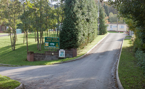
we returned to the road and continued to follow that
|
|
to Pool View Caravan Park. Keep walking in in the same direction through the site
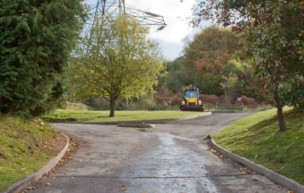
At the next junction turn left (again following the cycle track marker post) then
|
|
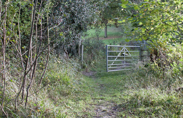
to a gate (which is just to the right of the digger in the photograph). Go through the gate
|
|
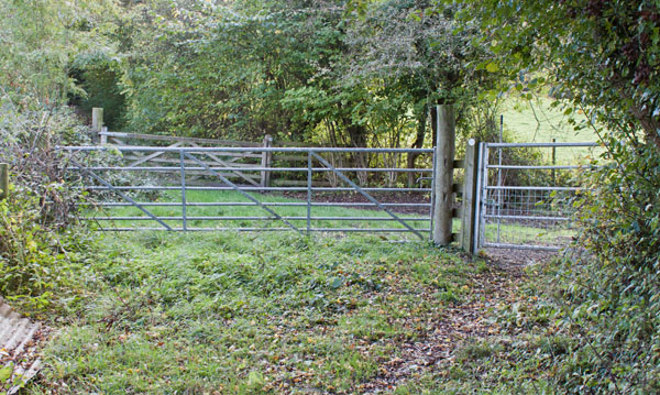
and follow the path through woodland to another metal gate (pictured).
|
|
Almost immediately through this there's another metal gate to pass through - and then a wooden one.
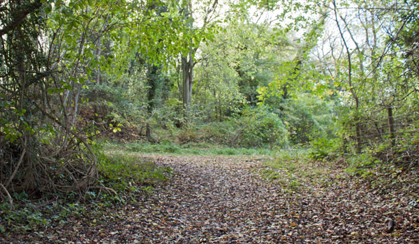
The path becomes much steeper as it continues to pass through the woodland. Shortly after the path winds to the right
|
|
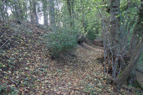
the Shropshire Way joins from the left. Bear right, following Shropshire Way signs
|
|
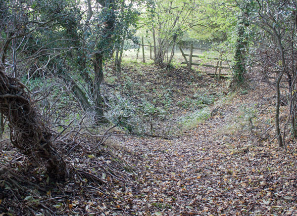
to walk along a path just below the edge of the woods.
|
|
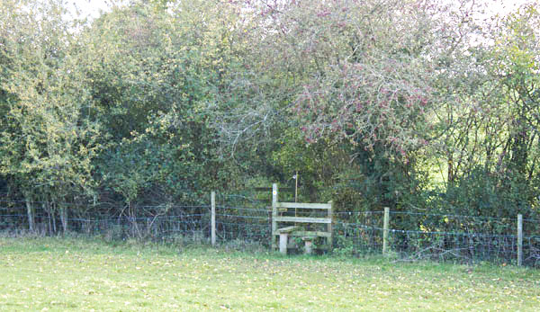
Leave the woods by climbing a stile in the fence shown. Walk along the right hand edge of a field.
|
|
Half way along the field edge, cross the middle of the field to the stile on the opposite side (pictured).
|
|
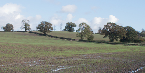
The stile takes you into another field - the OS map shows that the path runs almost due east here.
As the field had just been sown, we walked along the bottom edge, then up the far side to a gap in the hedge
(by the tree just right of centre in the photograph).
The map shows the path continuing in the same direction from corner to corner of this field.
Again, we walked around the edges
|
|
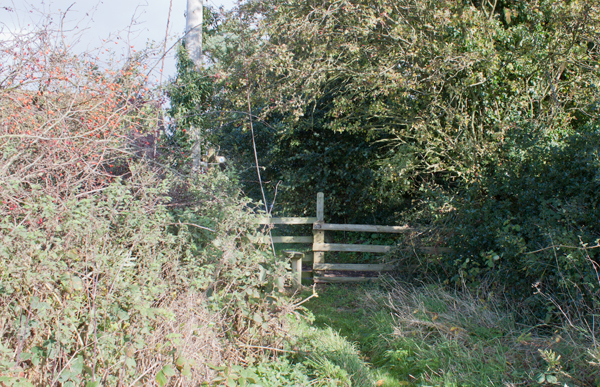
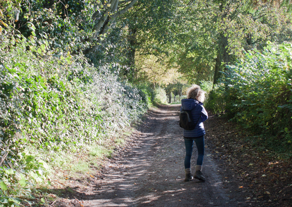
to this stile (almost hidden by the bushes). Cross the stile and turn right
|
|
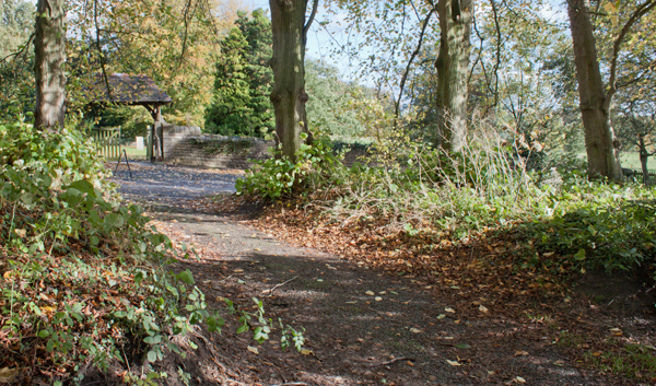
into this lane. Just before it joins a road
|
|
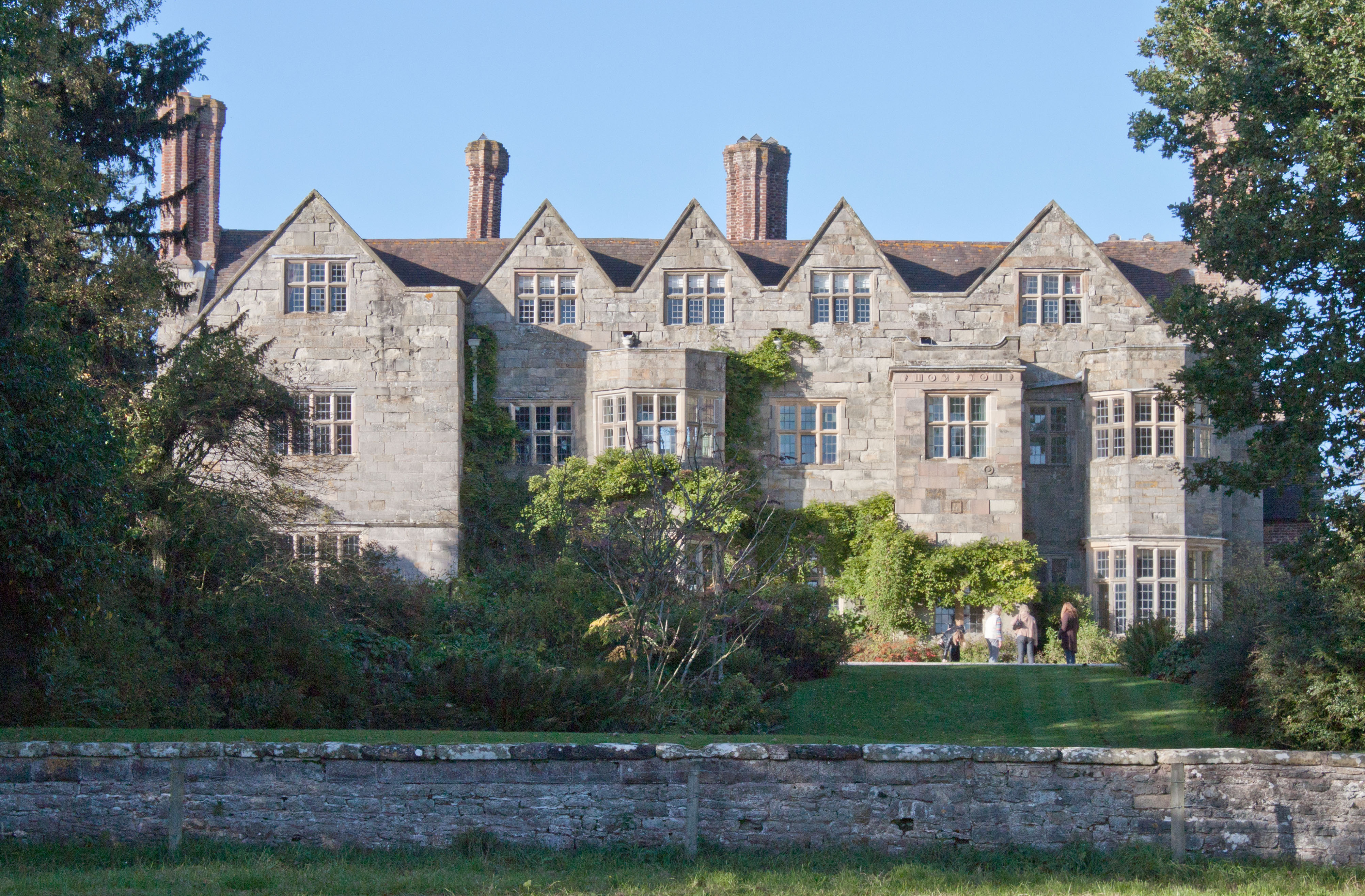
turn left. If you are visiting Benthall Hall, cross the road and walk through the churchyard following signs to the hall.
If you are not visiting the hall, turn right along the road and then almost immediately take the track on the left.
|
|
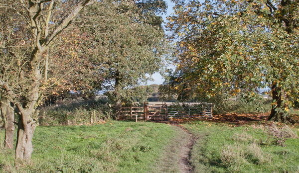
The path takes you in front of the hall
|
|
before passing through the gate pictured.
|
|
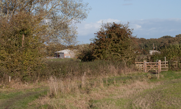
Walk gently downhill to the wooden gate ahead. Go through the gate and turn left.
|
|
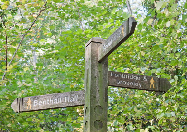
The path leads up into Benthall Woods. Enter the woods by climbing a stile next to a wide wooden gate.
The network of paths in the woods is more complex than indicated on the OS map - but the tracks are well
maintained and well signposted (though the signs are all quite high). It's worth downloading the Explore the
Severn Gorge map leaflet published by the Severn Gorge Countryside Trust, along with some of the walk leaflets
from their website.
At all the path junctions in the wood, we followed the signs for Ironbridge.
|
|
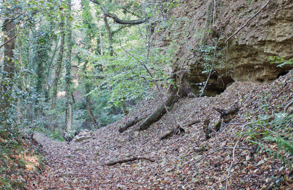
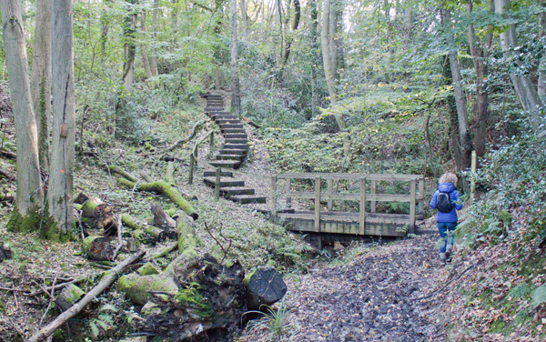
The woods are full of interesting features ...
|
|
with steps leading up
|
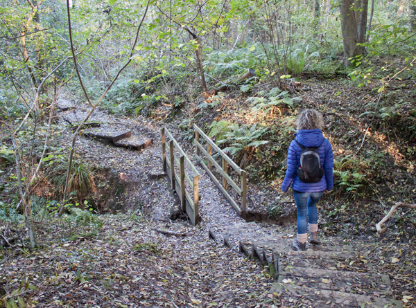
|
and down the steepest slopes.
|
|
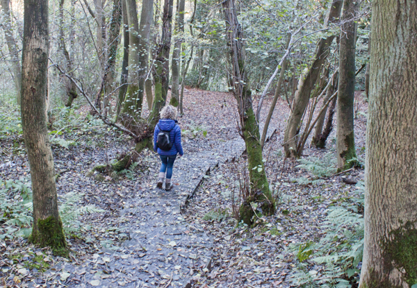
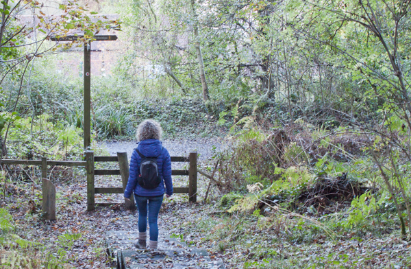
After a little more than half a mile of following paths in the woods, there is a steep descent down steps, before
|
|
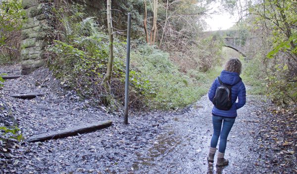
meeting the Shropshire Way again - this time where it follows a disused railway line. Turn right.
|
|
We continued along the line of the railway to pass under the bridge in the photograph.
|
|
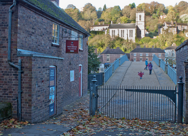
Turn left to cross the Iron Bridge.
|
|
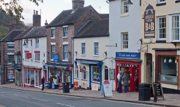
And left again to walk down Tontine Hill and then along the Wharfage.
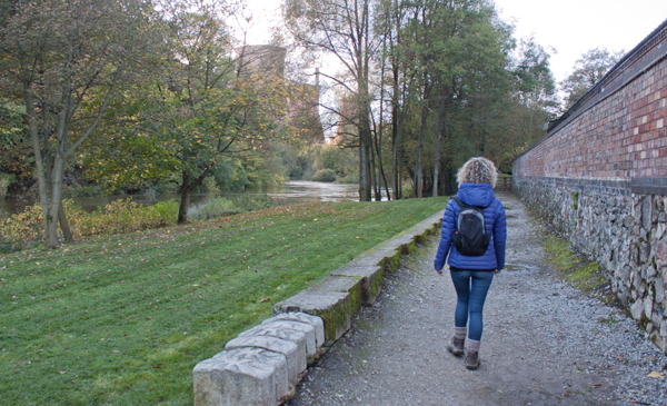
After passing the Museum of the Gorge we cut through the car park and Merrythought Village ... |
|
to join the riverside path back to the car park.
|
All text and images ©Graham Dean, November 2013.


