The notes and images below were provided by David Bunting, following difficulty in finding the source of the Ribble. The opening of the Pennine Bridleway has made access to Gavel Gap from the B6255 much simpler - unless you're trying to follow route descriptions which were written prior to 2012! Many thanks to David for providing the notes and images.
|
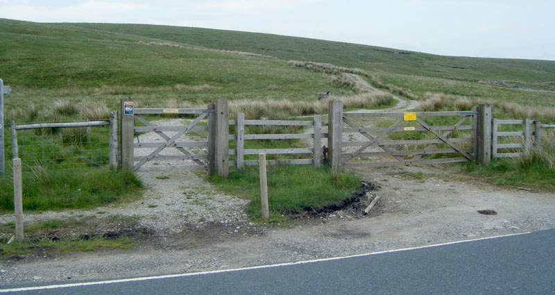
Start at a gate 50 yds south of the Dent Rd junction, where a sign on the gate indicates "Pennine Bridleway" and "Cold Keld Gate 2.5 miles." The path beyond is a track capable of taking farm vehicles, 4 x 4's, and quad bikes. Take this track which initially heads off in an easterly direction, then bends south east, when you pass a small sheepfold on the left, by a dilapidated dry stone wall. | |
|
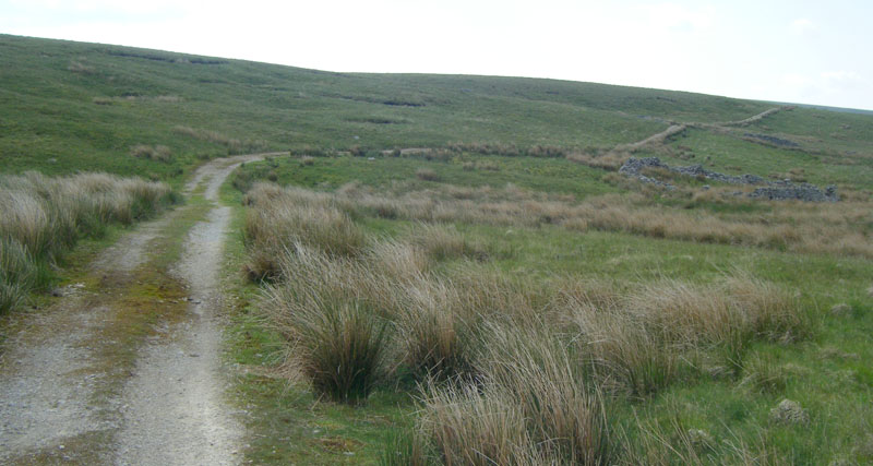
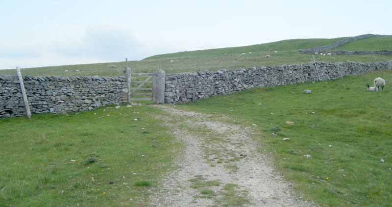
At the top of the brow, the track starts to bend to the left, returning to an easterly direction, and immediately past a little breeze block hut with corrugated roof on the right hand side, the track starts to bend to the left in a north easterly direction, and becomes a steady, meandering, uphill ascent, passing over a stream via a ford. Further on, the track again crosses a stream, this time over a culvert, and a dry stone wall comes into view on the left hand side. This wall and the track eventually converge at a 5'wide 5 barred gate, known as Gavel Gap, on which is a sign for the Pennine Bridleway. | |
|
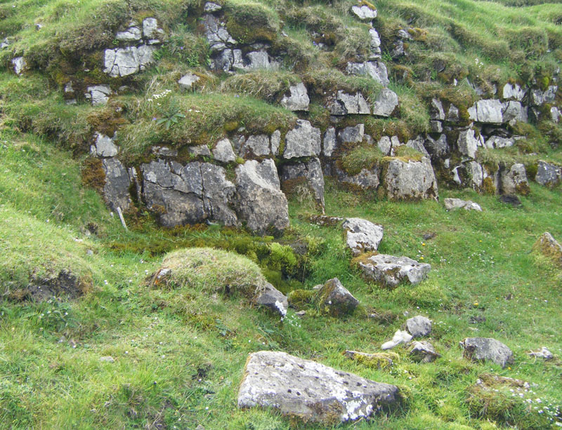
Do not pass through the gate, but follow the wall up the slope for 125 yards, to a limestone outcrop situated 8 yards from the wall, from which a very tiny spring flows - the source of the Ribble. | |
| Someone has placed a small wooden stick there - similar to a large lolly stick, as a marker. |
Approximate distance from the Dent Road junction to the Ribble Source - 1.8 miles.
Allow 50 minutes easy walking pace to get there, and about 30 minutes for the return.