Because of work on extending the tram system to the Trafford centre - parts of this route are obstructed, so this walk is no longer
available to download as an e book.
|
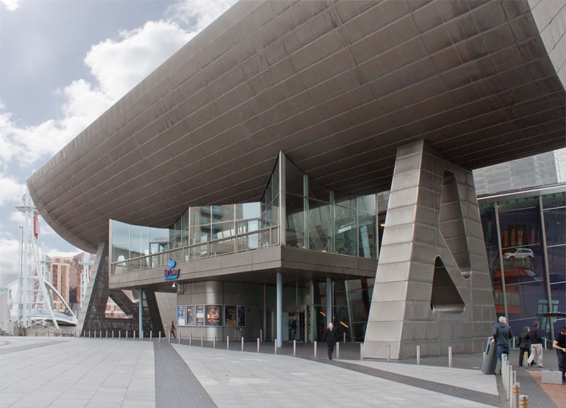
Walk between the Lowry and the shopping mall, towards the Millennium footbridge. Don't cross the bridge, but turn to the right to walk round the Lowry Art Centre.
|
|
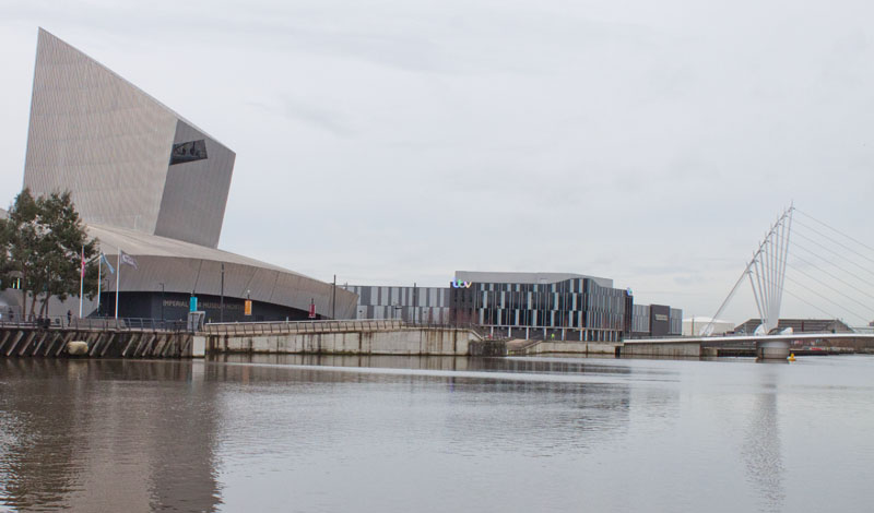
There are views across the canal to the Imperial War Museum and to the Media City Footbridge (which we cross shortly). Keep your eyes on the pavement as well: there are a series of mosaics set into the path. They were designed by local schoolchildren and created by artist Mark Kennedy.
|
|
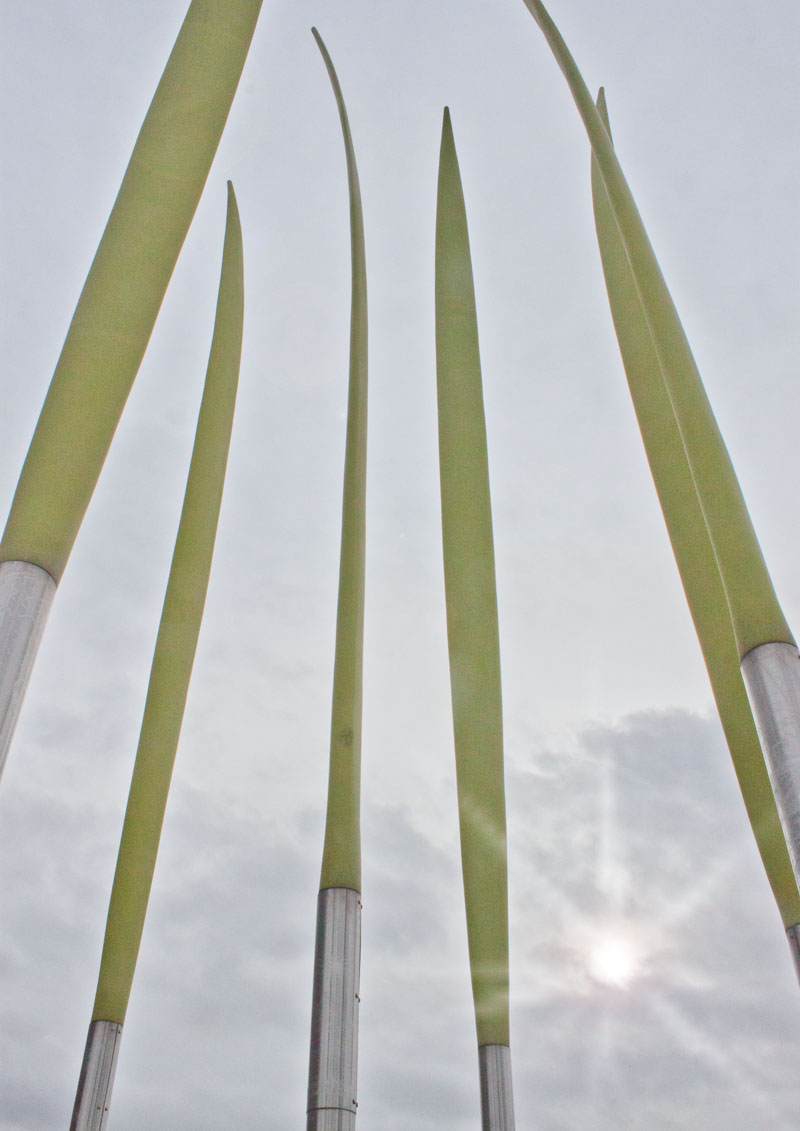
As you round the rear of the Lowry there is more art. Where the Wild Things Were represents the grasslands of Africa.
The base of each blade has engravings of drawings by children, showing how they imagined the landscapes and animals of distant countries
(destinations of some of the ships which used to dock here). Continue walking around the Art Centre...
|
|
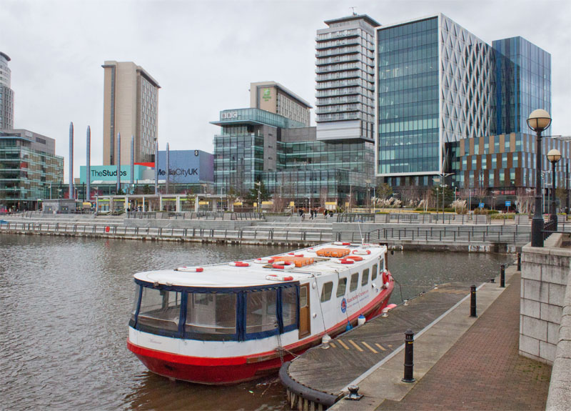
… and turn left to walk along the edge of North Bay. Follow the path by the edge of the water ...
|
|
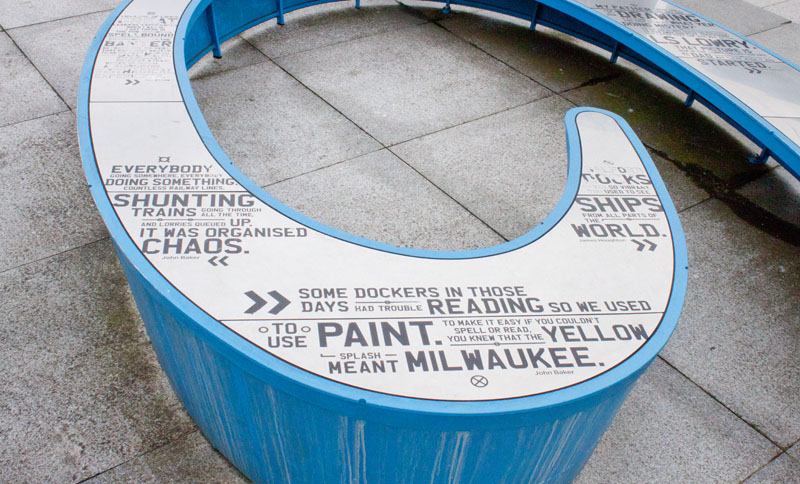
… to arrive at the next sculpture, Nine Dock. This features quotations from local people.
|
|
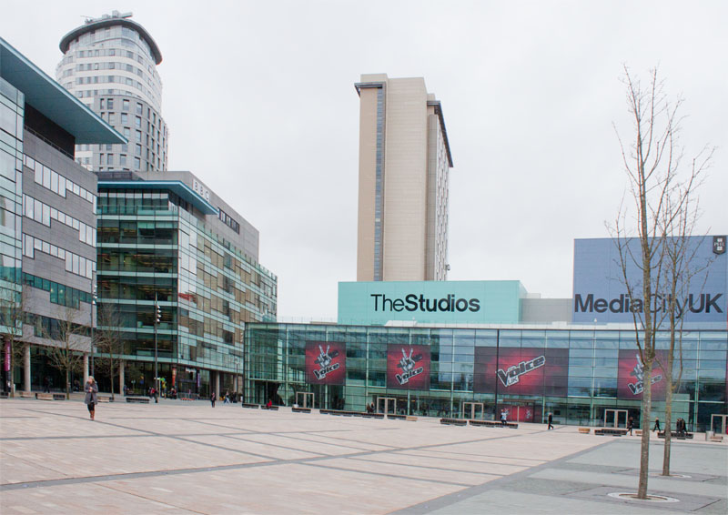
Cross the open plaza to the corner of the BBC buildings …
|
|
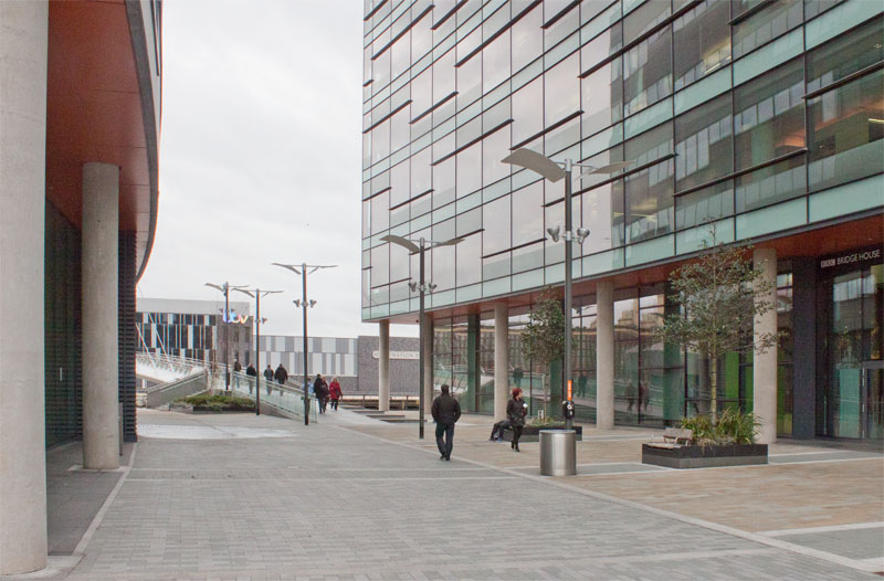
...and turn left to walk towards the footbridge. Cross the bridge...
|
|
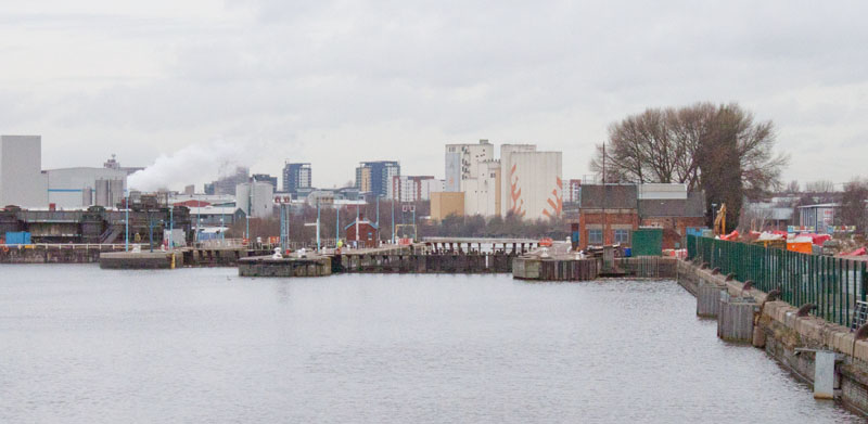
... pausing to look to the right towards Mode Wheel Locks and Trafford Park beyond.
|
|
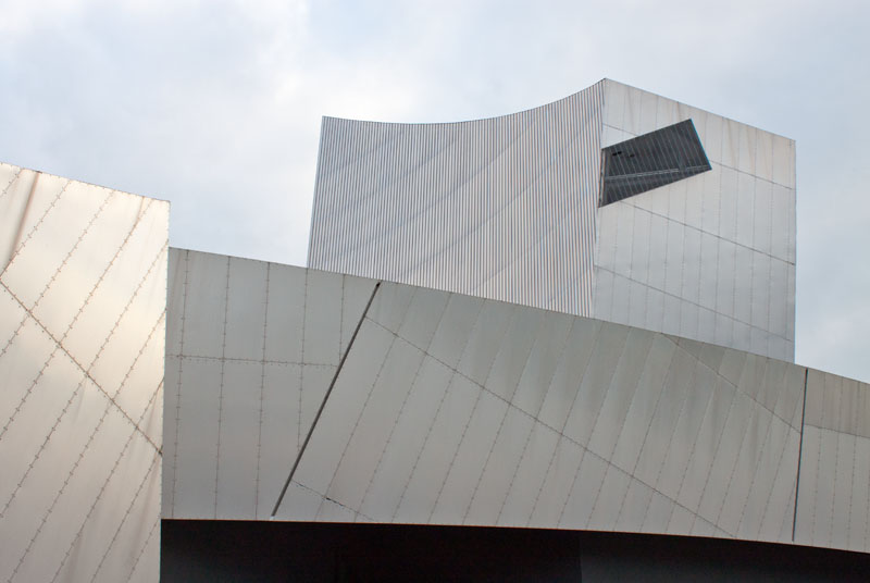
Turn left to walk between the Imperial War Museum North and the canal.
|
|
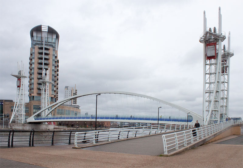
Continue along the canal side, passing the Millennium Bridge.
|
|
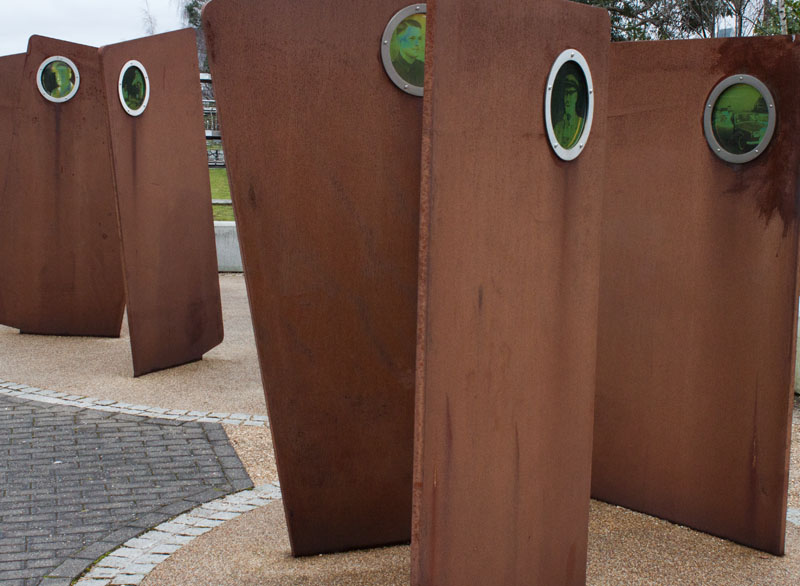
Casuals: the metal plates represent dock workers' union cards. Each one features a photograph of a dockworker.
They are arranged in two groups,
representing the casual workers who were taken on for the day and those who were sent home without employment.
|
|
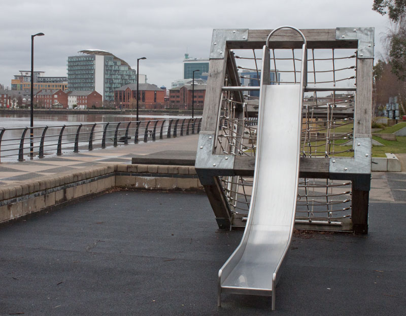
If you are walking with children, they will probably enjoy pausing to climb the cargo net and playing on this slide.
|
|
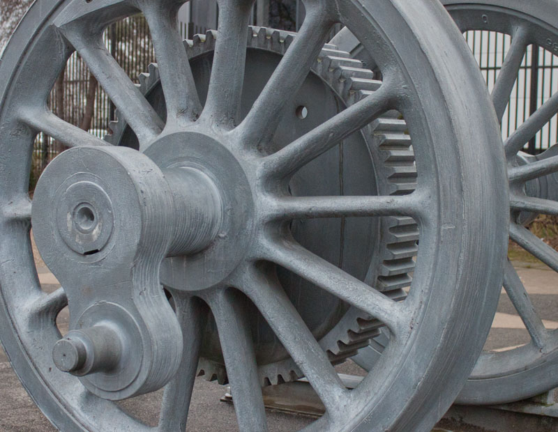
Silent Cargoes was commissioned to celebrate the centenary of Trafford Park in 1996.
It shows some of the different goods that were handled at the docks or manufactured in the adjacent Trafford Park.
|
|
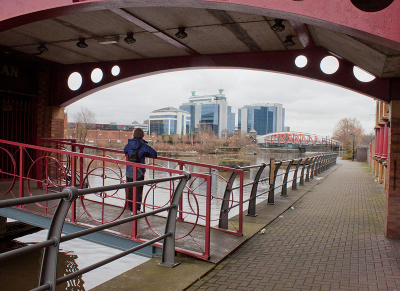
Walk down steps to pass through this archway under the Samuel Platts bar (looking at web reviews,
it looks as though this is a favourite with home team supporters on matchdays).
|
|
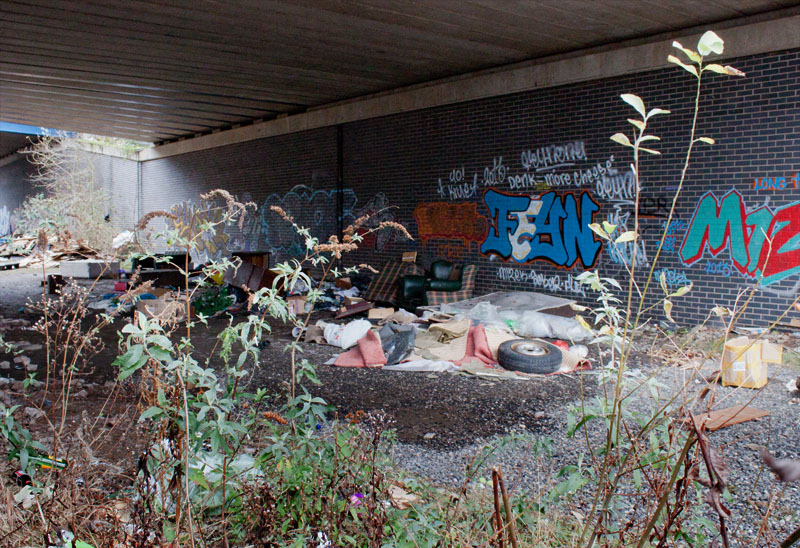
The Trafford Road Swing Bridge marks the boundary between the redeveloped docklands and areas that remain derelict. Following the closure of the docks beyond the bridge and the construction of the adjacent fixed bridge, the deck no longer moves.
To take a close look at the Skyhook sculpture, climb the steps to the right of the path under the bridge.
Those who wish to shorten the walk should also take the steps up to the bridge and cross over the canal.
There are steps on the other bank taking you down to the towpath.
If it is late in the day, it is probably wise to take this shortcut - there are gates on one of the following sections which bear notices sayings that they are locked in the evening.
|
|
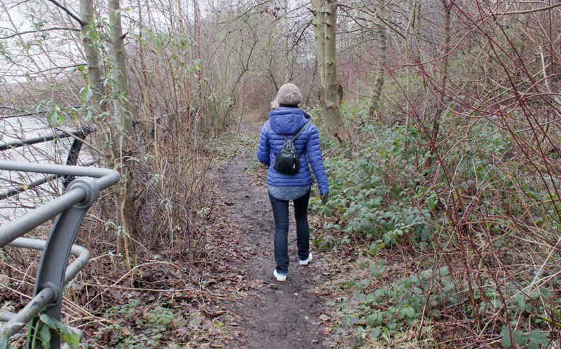
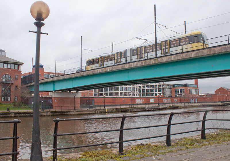
For those continuing to walk the full route there is a short stretch of narrow, unsurfaced path leading to ...
|
|
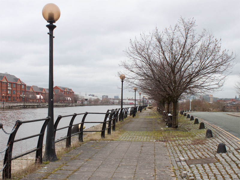
… a paved path which leads under the tram tracks and by the side of Pomona tram station.
|
|
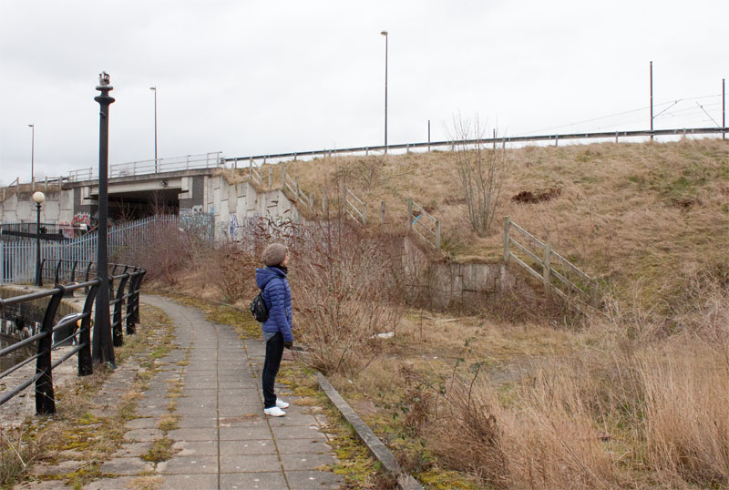
The paved path appears to continue ahead - so we followed it. However, if you wish to avoid a scramble up a grassy bank (see next picture),
you could follow the road at this point.
|
|
The path comes to an abrupt end at a steel fence around the lock joining the Ship Canal to the Bridgewater Canal.
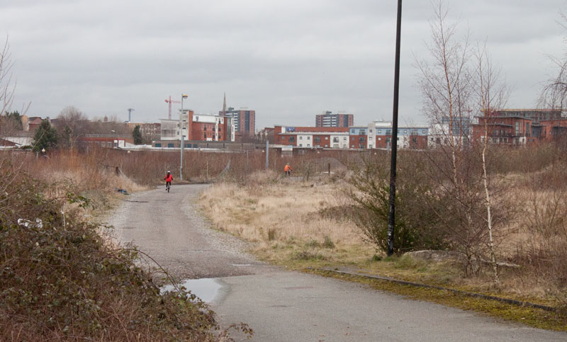
We followed the (broken) wooden fence up to the road. We then followed the road over the lock and beyond ...
|
|
… and continued as the surface of the road changed.
|
|
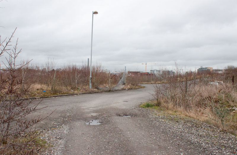
Bear right where the track meets a surfaced road. Almost immediately turn left, then right again ...
|
|
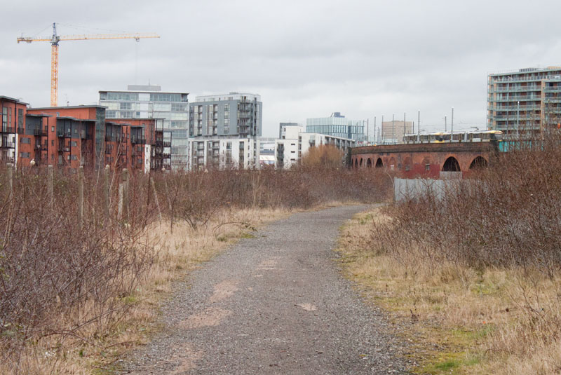
The track continues through what was once bustling dockland ...
|
|
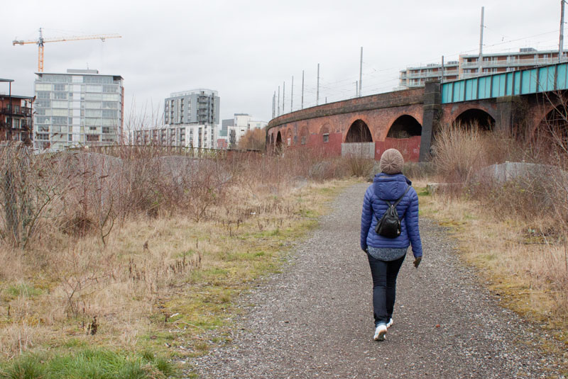
... towards the arched viaduct carrying the tramway. The path continues between the viaduct and the canal and leads to a ...
|
|
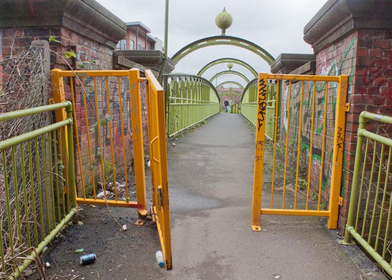
... footbridge over the canal. Cross the bridge.
|
|
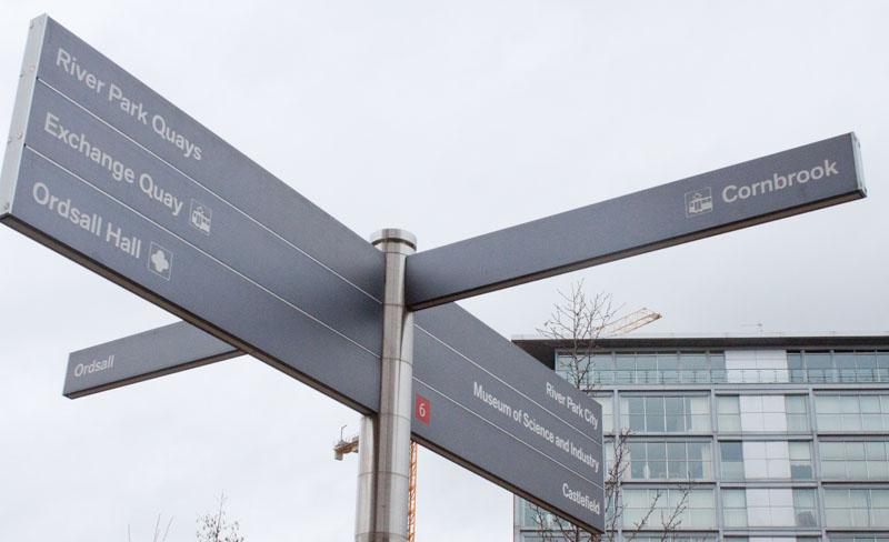
Turn right to walk under the bridge and back along the opposite bank of the canal (following the direction for River Park Quays).
|
|
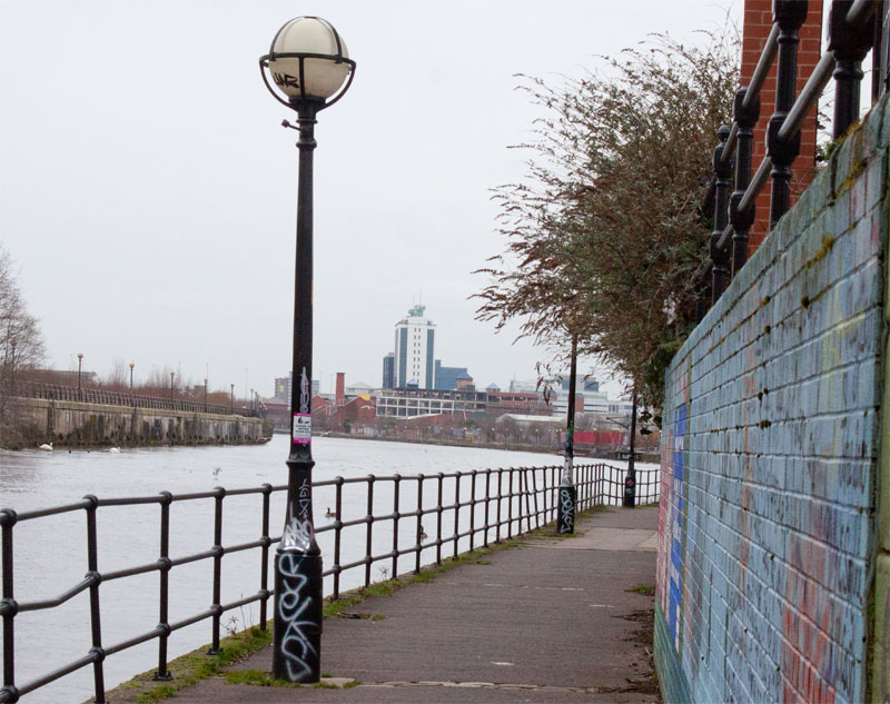
A colourful mural on the right is now covered with less attractive graffiti.
|
|
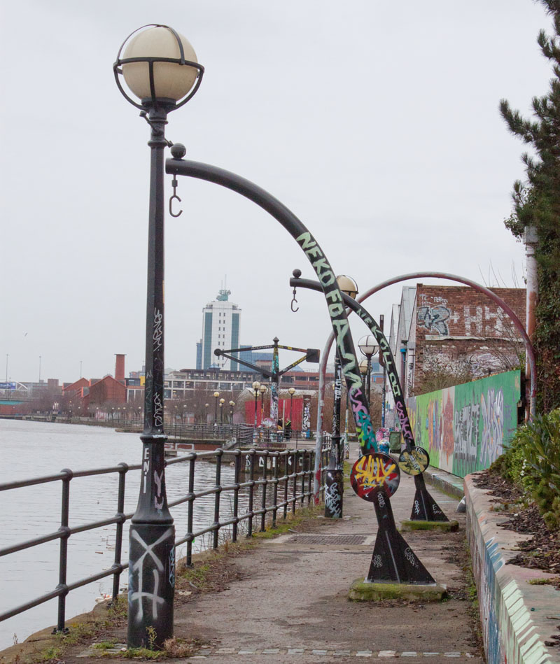
And it's not just the walls that are decorated with graffiti - perhaps it does brighten up some of the remaining fixtures from the canal's past.
|
|
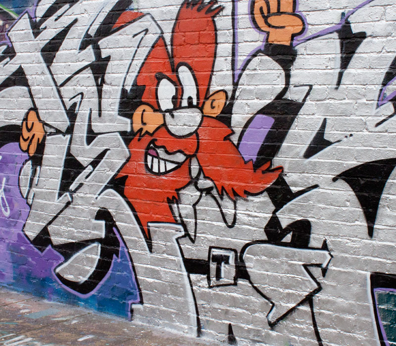
Some of the graffiti shows talent.
|
|
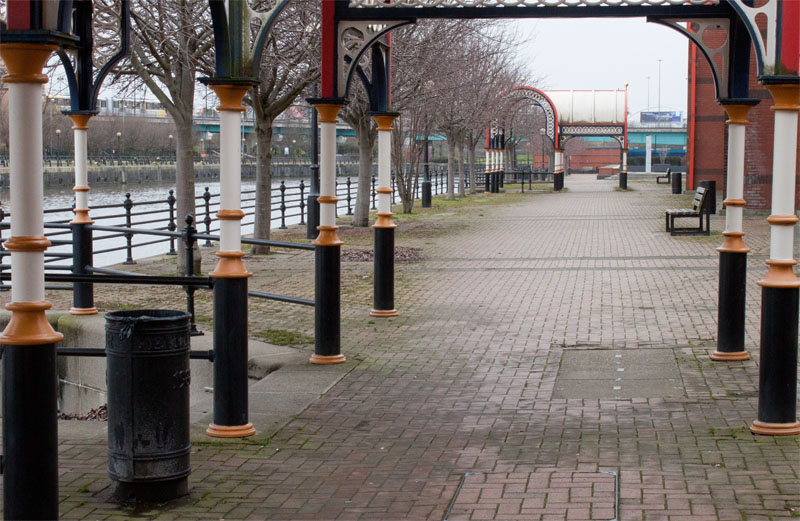
The path continues past office buildings ...
|
|
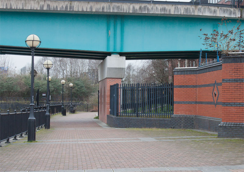
... and back under the tramway bridge ...
|
|
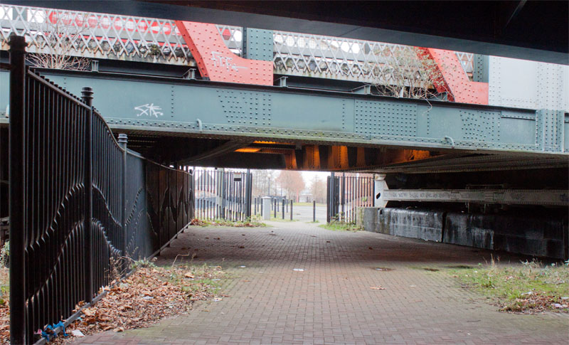
… then under the bridges at Trafford Road.
|
|
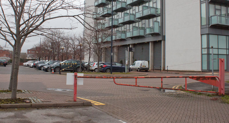
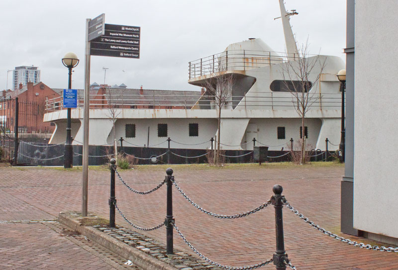
Bear to the right across a car park and walk along the road opposite.
|
|
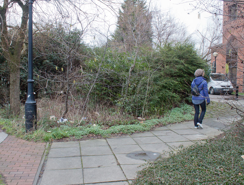
Continue ahead to the edge of South Bay. Turn right here and follow the footpath round to the north east corner of the dock.
|
|
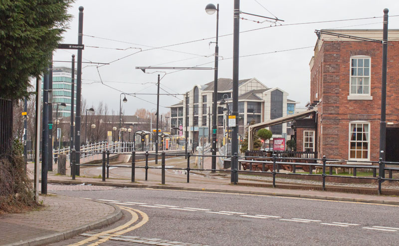
Bear right along this short length of pavement then walk towards ...
|
|
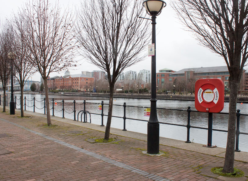
… Salford Quays tram stop. Walk between the tramway and St Peter's Basin.
Cross Waterfront Quay at the pelican crossing ...
|
|
… and turn left. Either follow the path by Ontario Basin, or walk along Waterfront Quay
(if you follow the waterside path, you will have to return to the road to cross the canal joining two basins).
After crossing the bridge, turn right onto the path following the edge of the basin until
you come to the Holiday Inn. Continue along the waterside path behind the hotel ...
|
|
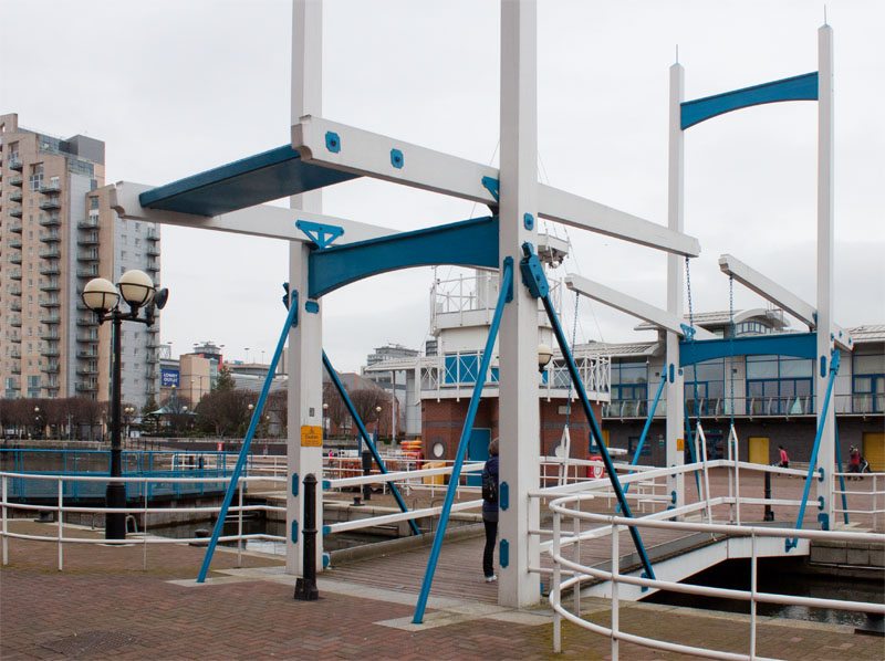
... to cross this bridge. Turn left in front of Salford Watersports Centre ...
|
|
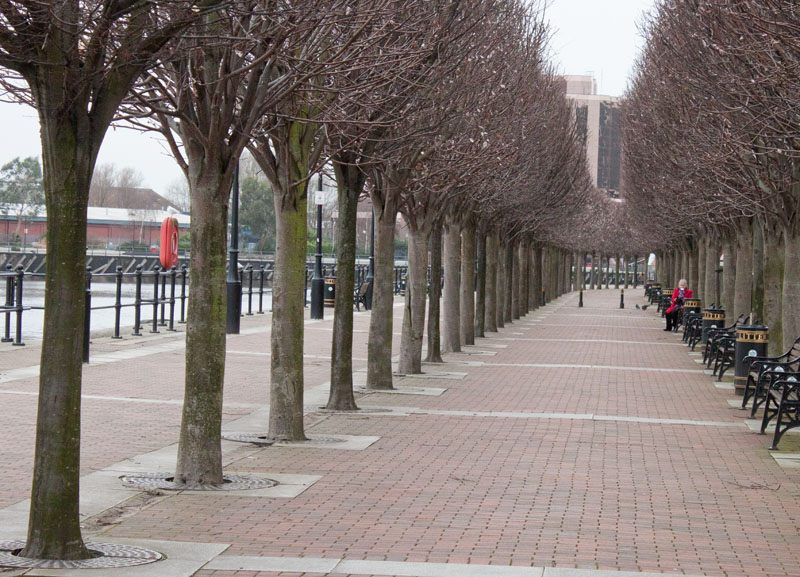
... to follow the avenue of trees ... |
|
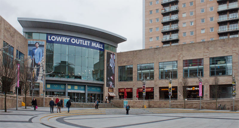
... to return to the start of the walk.
|
All text and images ©Graham Dean, February 2014.


