
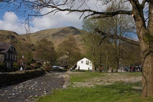
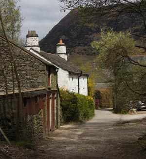
About ¾ a mile after passing the last cottages you pass Bell Cottage on your left, followed by the Youth Hostel and other former mine buildings. The path turns sharp right and then left.
| Map: | Sheet 5 The English Lakes - North Eastern area
|
| Start: | Glenridding(NY385169)car park |
| Route: | Click here to view the route superimposed on GoogleEarth (GoogleEarth must be installed on your computer
in order to view - click here to download GoogleEarth).
The start of the walk is an easy ascent, becoming slightly steeper towards the tarn. This is followed by a fairly level stretch, before a very steep descent. Clear paths and tracks throughout. |
| More info: | villages on Ullswater information from Go Lakes website |
| Refreshments: | Pubs, coffee shops and tea rooms in Glenridding. |

|
The picture shows the information centre and public toilets in Glenridding. The car park is
to the right. Walk through the car park to the top corner, where you can turn left on to Greenside Road.
Follow the road, and signs to red tarn, as it winds up the valley.
About ¾ a mile after passing the last cottages you pass Bell Cottage on your left, followed by the Youth Hostel and other former mine buildings. The path turns sharp right and then left. |

|
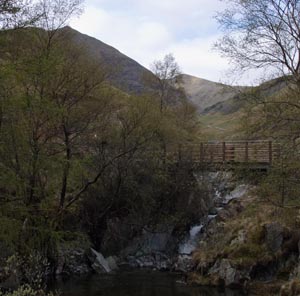
Above the buildings the stream tumbles over a weir and the path crosses a footbridge. Once across the bridge follow the path right, up the valley. |

|
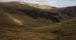
The path continues to climb steadily up the valley, never straying far from Red Tarn Beck. Cross a small stream by means of a bridge made from railway sleepers, then Red Tarn Beck itself by using a more substantial wooden bridge. The picture is taken looking back down the valley |

|
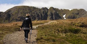
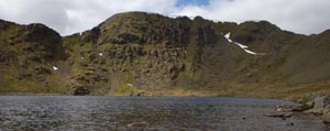
As the path approaches Red Tarn, Hellvelyn appears above the horizon. |

|
Once Red Tarn is reached, cross the Beck and follow the path sharp left, which continues to climb (but more gently) to meet a stone wall. |

|
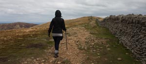
Stay to the left of the wall, following it for about 1 mile. Follow the path that bears to the left, away from the wall. |

|
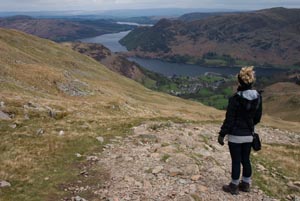
The steep descent zig zags down to cross a stream. A small wooden bridge leads to a choice of either ladder stile or gate. Continue down the stony path. At junction of paths turn left, through a wooden then bear right. | 
|
Turn left on to a farm road, but don't cross the stream, instead follow the track to the right, between the stream and campsite. Continue along the track, which emerges by the stream in Glenridding. At the main road turn left and return to car park. |
Back to:


