Lose Hill from Castleton (approx 5.5 miles)


Map: Sheet OL1 Peak District - Dark Peak area
Start: Castleton Car Park. (SK149829)
Route: The route starts off from Castletion along a narrow, unclassified road, then climbs on clear paths, gently at first, to the Great Ridge along the north of the valley. From Lose Hill there is a steep downhill walk to Hope, followed by a level return to Castleton.
More info. Wikipedia entry for Castleton.
Refreshments A wide choice of pubs and teashops in Castleton.

walk profile
the path up the Great Ridge From the car park, turn left to walk through the village. Follow the main road round to the left, but where it turns to the right continue straight on doen Mill Lane (signposted for Hollowford Centre. Ignore public footpath on left, and where the road divides, take the left hand fork, which has a "no through road" sign. At the next junction, turn left (the track almost immediatly bends to the right).

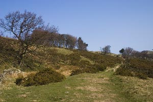
Where the track bends to the left, continue ahead along bridelpath - climbing stile or passing through narrow gate. The narrow, stony path continues between fences until you reach stiles and gates. Go through the gate or right hand stile, following the wall on the right. Cross a small stream by means of single flag. Follow path past single stone gatepost and take the path to the left. The path climbs up to a group of trees (some of which are beech). Just beyond the trees, cross an alomost non-existant stone wall.
Great Ridge, approaching Back Tor Turn right to join a path just below the ridge - then almost immeadiatly bear left to cross a stile and turn right along path which follows the ridge. As you approach Back Tor, the path becomes steeper, and climbs stone steps in the rock.
View of view east from Back Tor From the summit of Back Tor the ridge continues downhill, between a stone wall and a fence. After the brief rest provided by the downhill slope, the ridge climbs. The path passes through a stile, then proceeds up a flagged path the the top of Lose Hill.

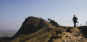
From the sumitt follow the flagged path downhill. Cross a stile to leave National Trust land, then turn right to cross another stile. Turn left to follow path downhill. At a 3 way finger post Hope is signposted in 2 directions. Go straight on, in the direction which only mentions Hope. Pass through narrow metal gate next to a larger gate. Cross a stile to find that Hope is again signed in two directions: this time take the right hand path and cross another stile. The path continues throug field, over stiles and through gates. Keep straight on where path joins from right. The path is enclosed by walls, fence and hedge and becomes more narrow. Go through wooden gate to cross a footpath. The way ahead leads between outbuildings and to the left of house (Meadows End). Cross the drive and climb stiles to cross bridge over railway. Cross another stile, then follow path over stiles and through gates. Cross another path, more stiles and follow sign to emerge on Edale Road.
Ladybower Inn Turn right along the road, then turn right again when you reach the main road. Turn left between church and pub: Pindale Road. You pass the pinfold on your right then cross Eccles Lane on your left. Take the footpath to Castleton on the right. The path follows the direction of Peakshole Water until you cross the railway. The stream meanders away, but then the path bends to the right to closely follow the stream and a wire fence. Leave the field by a stile to the right of a very, very rusty metal gate. Where track meets road, turn left and follow the road back to Castleton.

Back to:
Walks Index
Graham & Lin Dean's Home Page