 |
From the road junction in the village, follow the road north east. Take the bridlepath on the right,
almost opposite the Hare and Hounds pub.
It is situated just before a bus shelter and post box. The track soon crosses
a bridge over the railway path. Follow the track to Gnipe Howe Farm. Here
the bridlepath turns left, but the footpath we followed passes through a
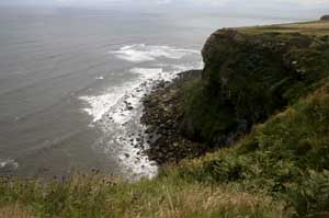
metal gate on the right, then crosses the corner of a field, to a stile. The path heads directly towards the cliff top. |
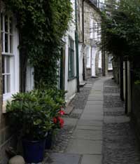 |
... to explore the narrow alleways of the village.
After exploring the village, climb back up the hill, and walk back along
Mount Pleasant North, but after the houses, turn left, following signs for the railway path.
Once you are on this path, follow it until you pass a large, static caravan site on the left.
Turn left along the road. Bear right when you come to the junction with the B1447, and follow this road back to Hawsker.
|