|
Leave the car park past a metal gate, walking towards the coast.
Turn left onto the coastal path.
|
|
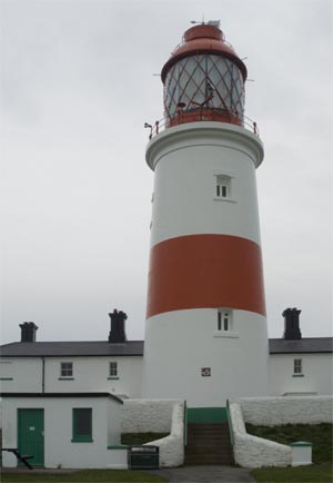
Keep to the path which leads between the coast and the lighthouse. If the lighthouse is open,
it is well worth a visit (click here
for opening times).
|
|
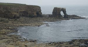
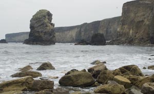
Continue north, passing a car park, and back on to the cliff top path. Continue along this
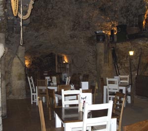
path until reaching the lift and steps and lift down to Marsden Grotto. There are two reasons
to visit the beach: refreshment
at the bar and a closer look at the spectacular stacks.
|
|
From the lift above Marsden Grotto, walk across the road and walk back in
the direction of Souter Lighthouse. At the far end of the caravan park turn right to
follow a bridleway away from the coast,
with a caravan park on your right and golf course on the left. Cross a road and follow
bridlepath sign. The golf course continues to be on your left and there is a disused quarry
on the right. Cross a stone stile onto the golf course and follow yellow marker poles.
|
|
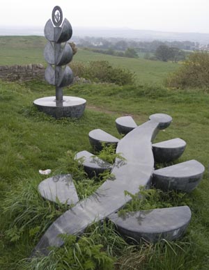
Leave the golf course between bushes. Take the left hand of two paths, which leads to a
metal kissing gate. Pass through the gate into a field with the water tower to your right
and a (crumbling) stone wall on the left. The path leads past the sculpture pictured. Just beyond go through
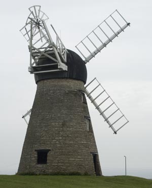
the wooden kissing gate. Walk past ruins of Cleadon Windmill and bear left to cross a wooden stile
over a wooden fence. The path is waymarked as "Bede's Way." The path leads over three
stiles. After the last of these turn left and follow path to a brick stile over a stone wall.
Follow the farm track to the road and turn left. |
|
Turn right on to a path between a caravan site and housing estate. At the end of the path, cross the
road and bear left into Cedar Grove, walking towards Whitburn Mill. Walk past the mill to the
coast road and left. Turn right a few yards beyond a bus shelter, climbing stone steps to follow a narrow public footpath.
There is a firing range on your right. At the far end of the firing range turn left on to coastal path.
Turn left off the coastal path to return to car park. |