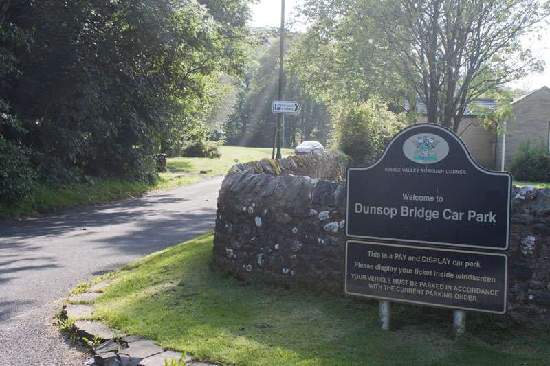
|
Leave the car park, and turn right to walk along the road ... |
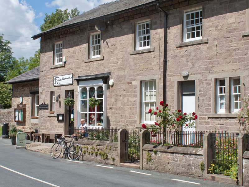
|
passing the village store/Puddleducks café on your right.
|
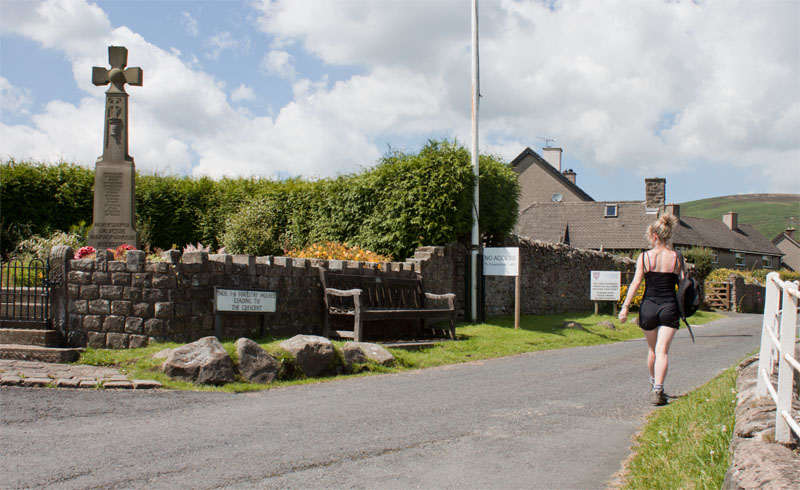
|
Cross the river and follow the road round a sharp bend, then take the road on your right in front of the war memorial (pictured).
|
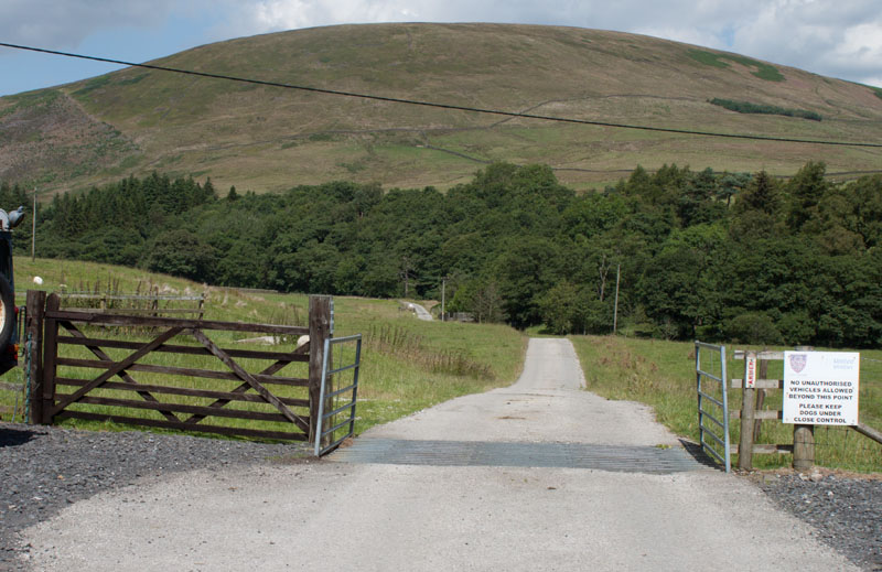
|
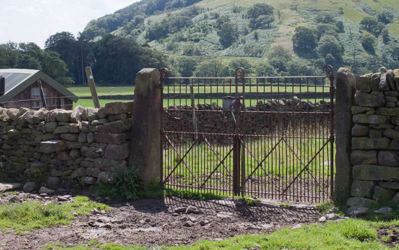
The road passes a few houses on the left and then continues to Closes Barn. Cross the cattle grid pictured and then turn left across the field (there is a small circular waymarker on one of the poles carrying overhead wires).
|
|
Stay fairly close to the field boundary on your left.
Pass into the next field by climbing the stone stile or going through the metal gates.
|
|
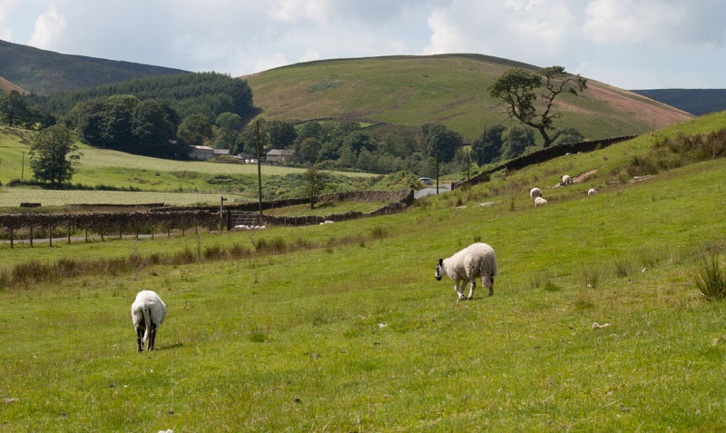
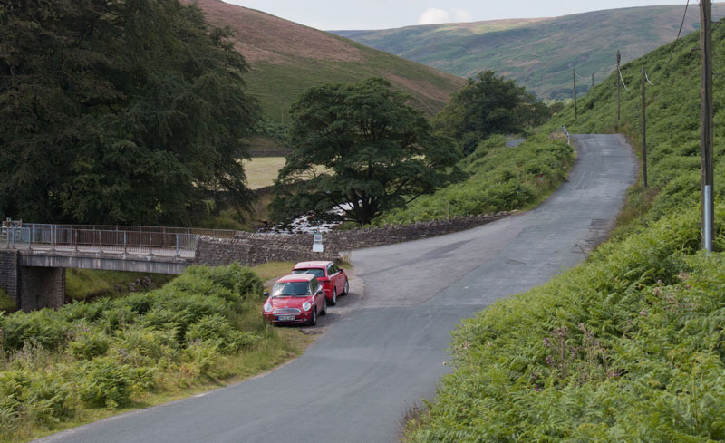
Walk in a south westerly direction, then once round the shoulder of the hill, you will be able to see the waymarker post ahead. Leave the field at the waymarker and turn right along the road.
|
|
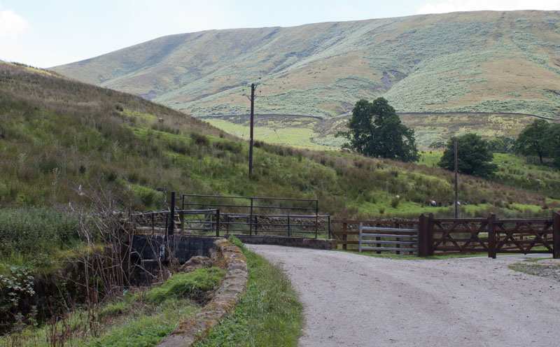
Continue walking along the road until you reach the bridge carrying the track to Hareden Farm on your left. Cross the bridge and follow the track
|
|
between farm buildings. Once past the farm buildings the track crosses another bridge.
Leave the track by climbing the ladder stile on the left.
|
|
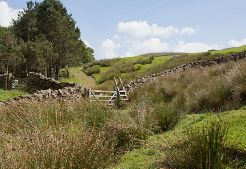
The path starts off fairly clear, but soon becomes unclear on the ground. Stay fairly close to the stone wall on the left
and you will come to the ladder stile and gate shown in the photograph. Climb the stile.
|
|
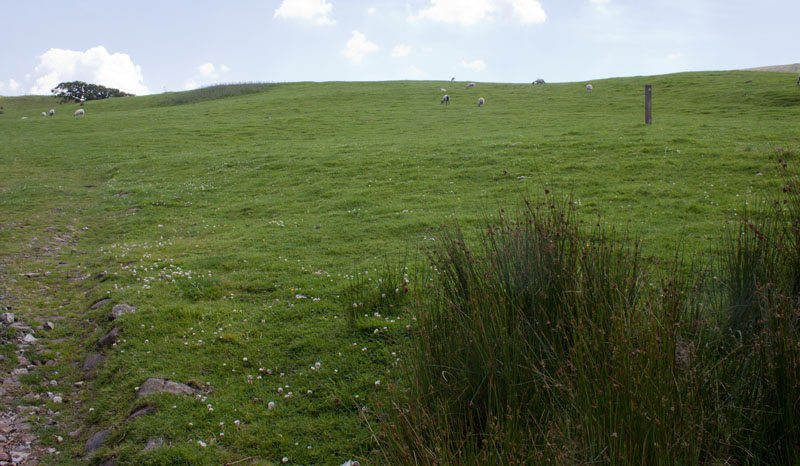
Again the path starts off by being clear - but soon vanishes on the ground. Bear right away from the
field boundary and head toward the marker pole pictured.
|
|
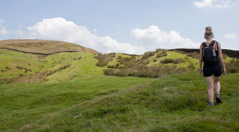
As you climb, head towards the right of the field, then follow the stone wall (as you approach the end of the field, the path again becomes clear.
|
|
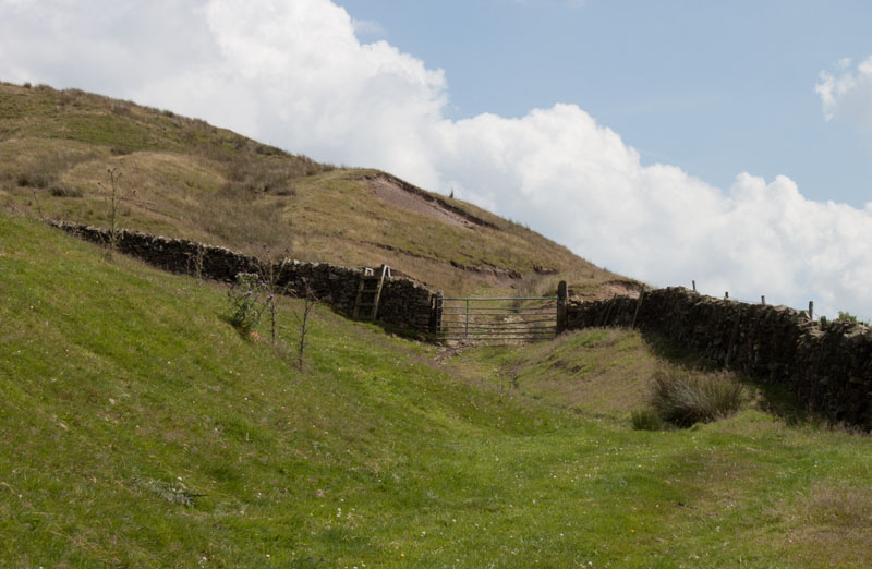
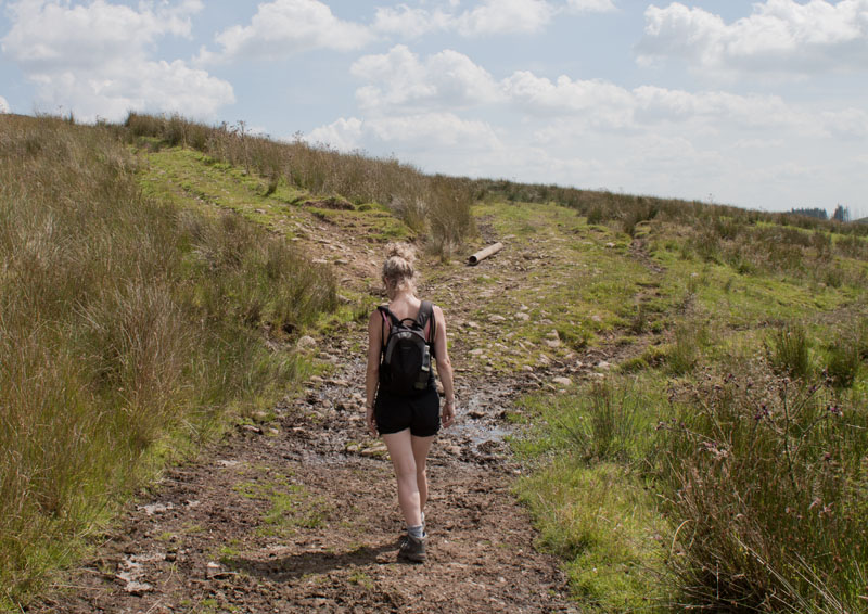
Go over the ladder stile or through the gate and for the first 100 yards follow the track in the same direction.
|
|
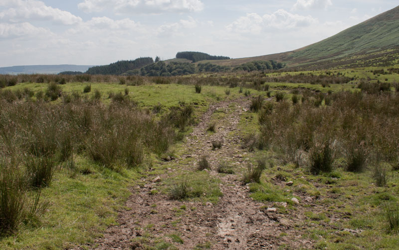
Where the track divides, bear right.
|
|
Continue in the same direction, making sure that you keep to the right of the of the small streams.
We headed for the gap in the trees on the horizon (but as there was evidence of felling and re-planting
when we reached that area, the skyline could change quite soon).
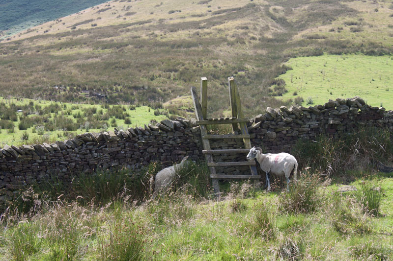
The path soon runs close to the field boundary on the right and leads to
|
|
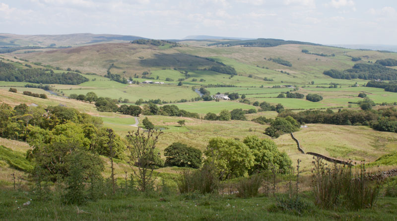
a ladder stile crossing the wall ahead. Cross the stile and continue ahead.
|
|
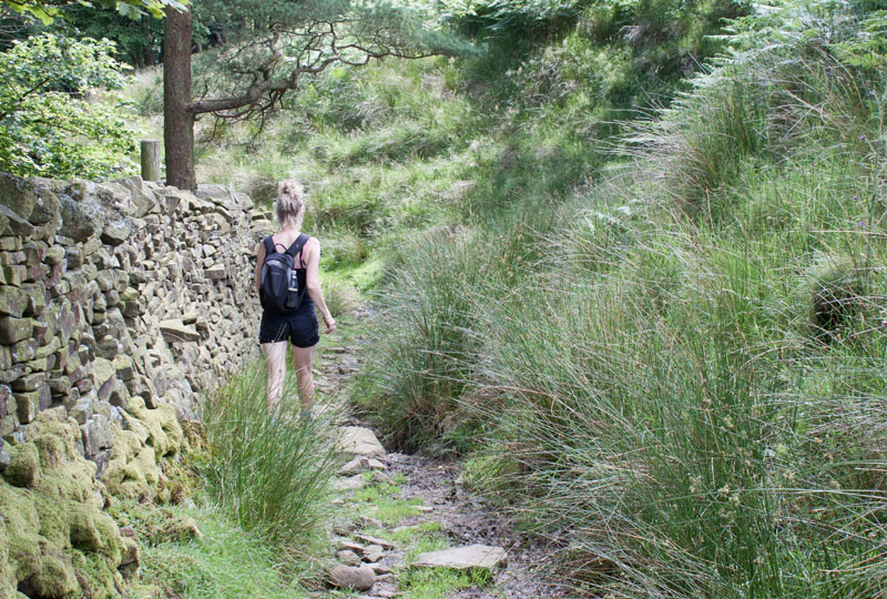
This section provides clear views across the valley on your left.
|
|
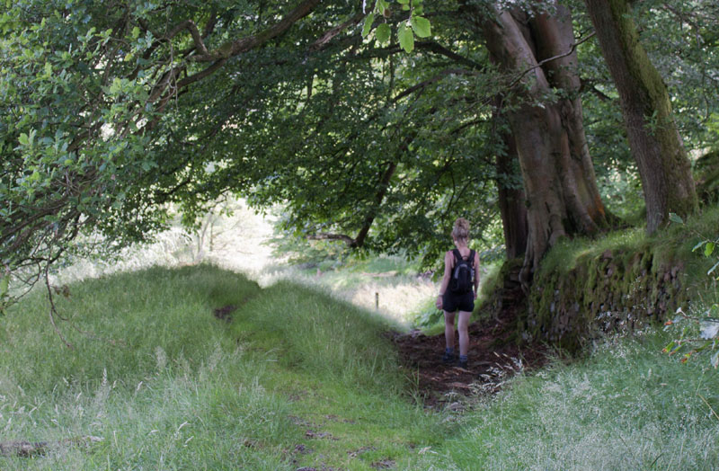
As you approach the wooded area, follow the stone wall on your left. This leads through to a path
|
|
with a wooded area on the right. Follow the waymark post ahead.
|
|
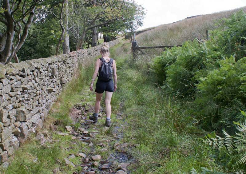
The area on the right soon becomes open fellside and there are trees on the left.
|
|
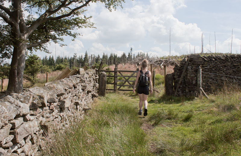
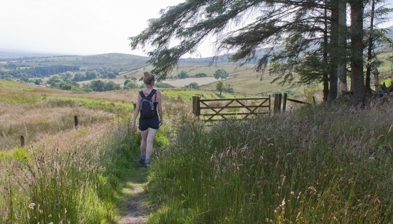
Go through the wooden gate into a conifer plantation. At the time we walked this route, a large area of trees had been cleared with new saplings planted. Some of the felled trees made parts of the path like an obstacle course
(it's marked on the map as a bridleway - horseriders would have found it difficult going).
|
|
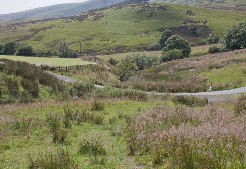
Leave the plantation through a wooden gate and continue walking in as south western direction
|
|
down to a tarmac track. Turn left along the track.
|
|
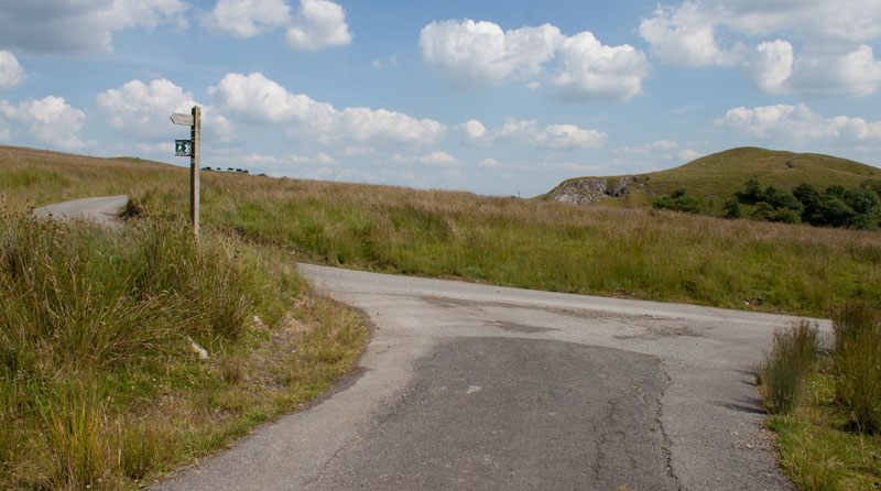
At a junction of tracks, turn left.
|
|
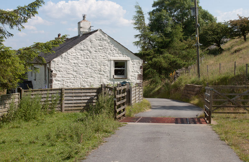
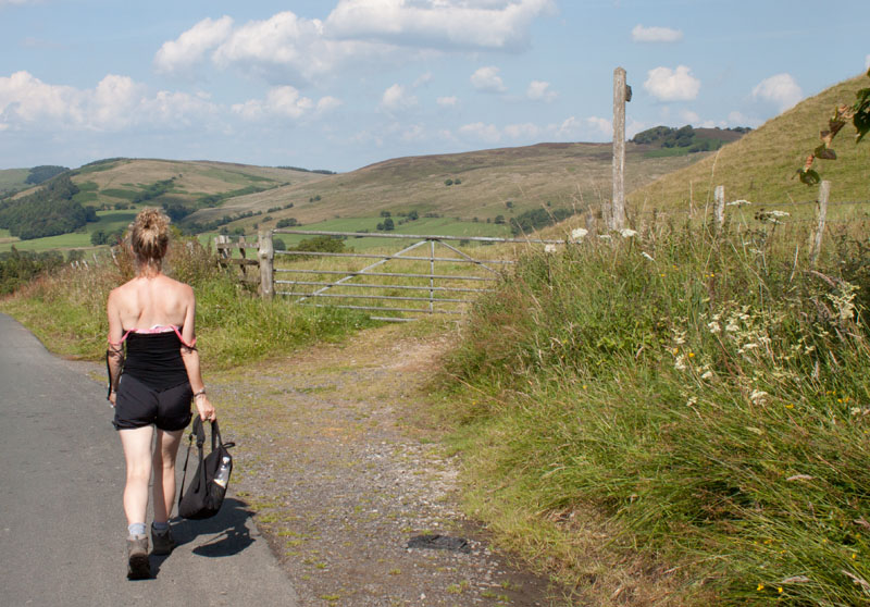
Continue to follow this farm road across a couple of cattle grids and past buildings at Tunstall Ing (pictured).
After crossing a third cattle grid the track meets a minor road. Turn left along the road.
|
|
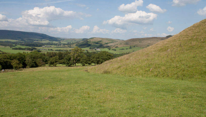
Look out for the gateway and finger post on the right. Take this path which skirts
|
|
around the left of New Laund Hill.
|
|
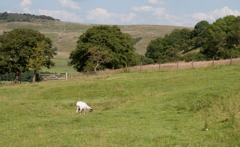
Walk across the pasture to the gate pictured. Go through the gate (with a welcome to New Laund Farm sign at the side)
|
|
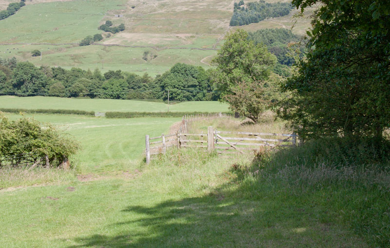
following the path with the field boundary on your right. Go through the gate pictured,
walking downhill with the field boundary now on your left.
|
|
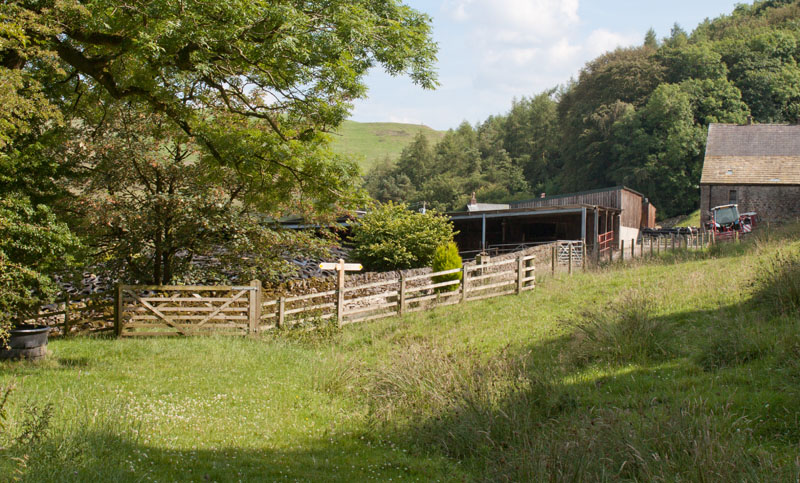
Another wooden gate takes you onto a farm track. Turn right along the track to pass between farm buildings. There is a traditional cheese press
displayed on the right of the path and the route is really well signposted through the farm.
|
|
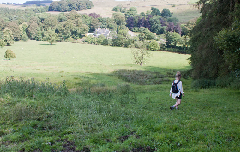
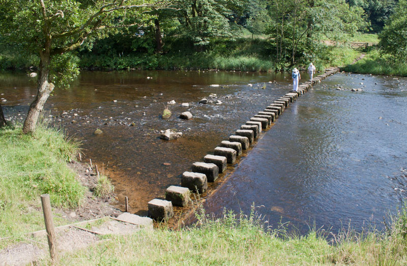
Walk down to the river ...
|
|
and cross the stepping stones.
|
|
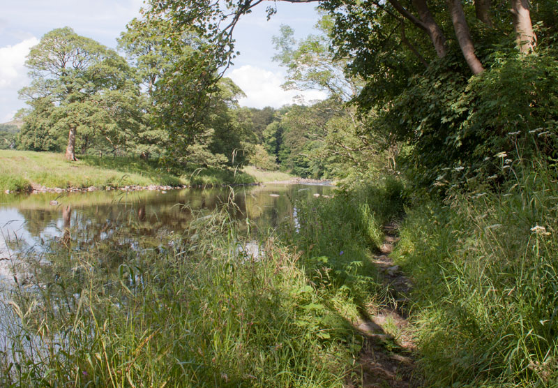
Once across take the rough path on the left, following the river.
|
|
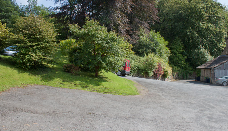
The path leads to the car park at the back of the Inn at Whitwell. Walk round to the right, then turn left
on the road passing the church and the front of the inn. We stopped here for much needed refreshment, sitting
in the welcome shade on the terrace.
|
|
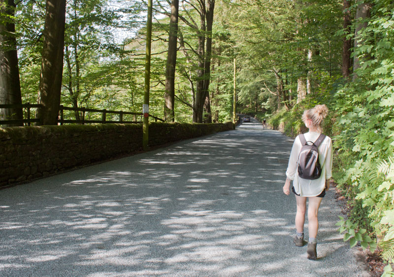
Continue north along the road
|
|
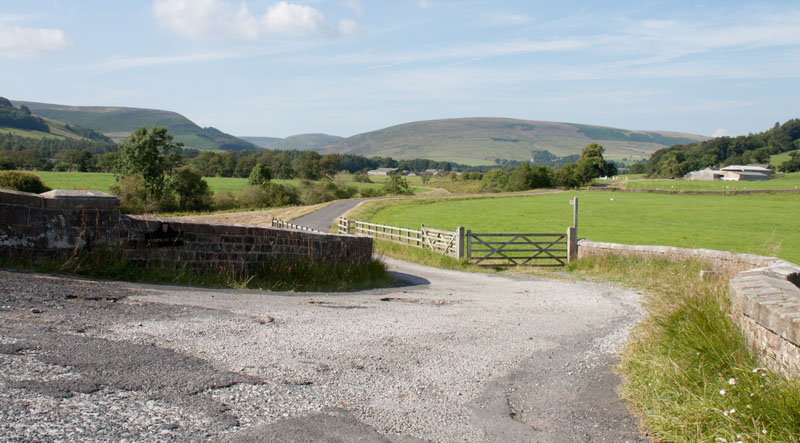
until the road turns sharp left to cross Burholme Bridge. Don't cross the bridge, take the farm road directly ahead.
|
|
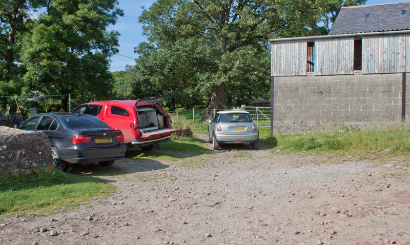
At Burholme Farm walk between buildings and take the path to the left of the barn pictured (the grey mini in the picture
is partly obscuring the view of the path).
|
|
The track fords a stream, with a wooden bridge enabling walkers to keep their feet dry,
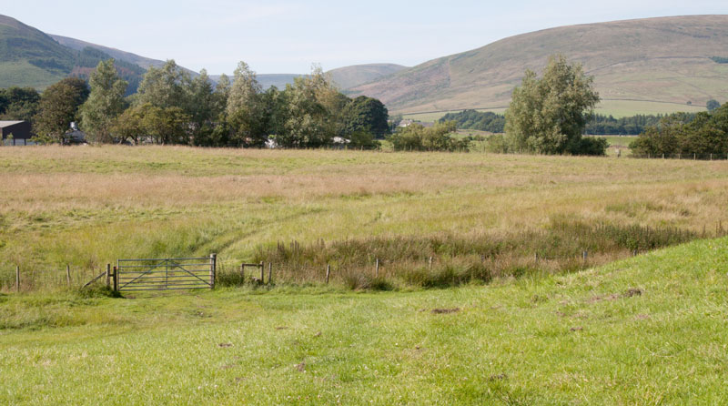
before entering a field where the route becomes less clear on the ground. Walk down towards the gate in the picture.
|
|
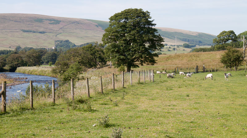
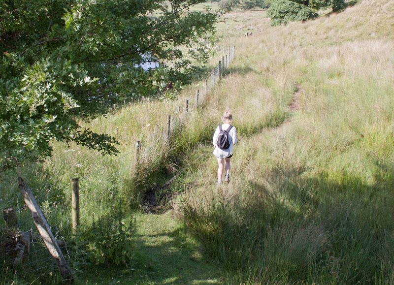
The path leads down to a fence close to the river. Follow the river upstream through a couple of gates.
Where the main path appears to cross a metal aqueduct
|
|
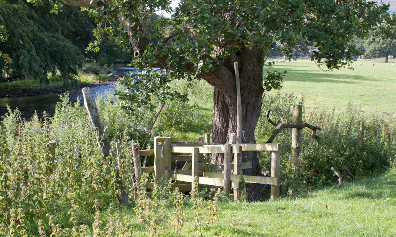
don't cross the river, but take the narrow path down by the fence. |
|
Continue along the riverside path then cross the wooden bridge and walk across the next field.
|
|
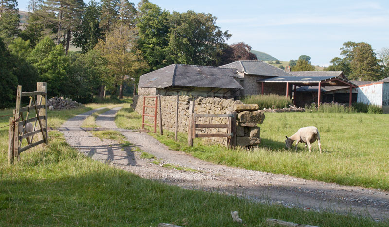
Where the path meets the track in the picture, turn left along the track.
|
|
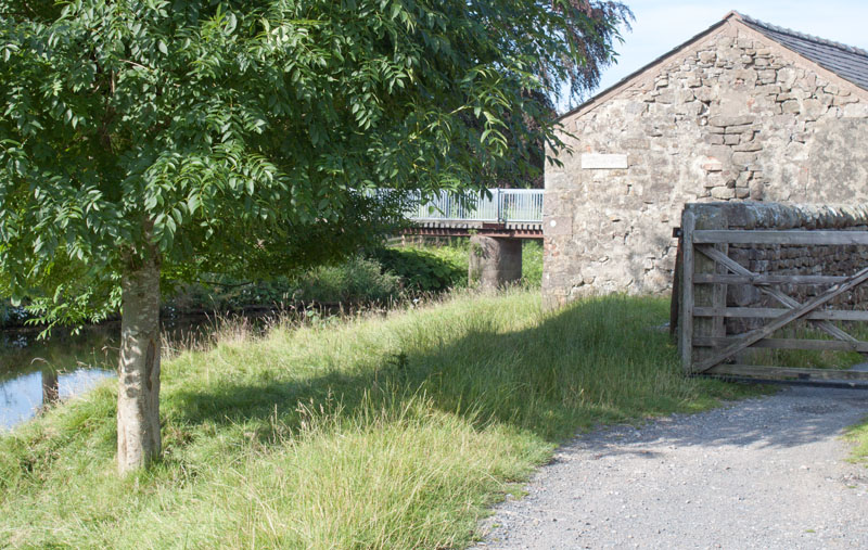
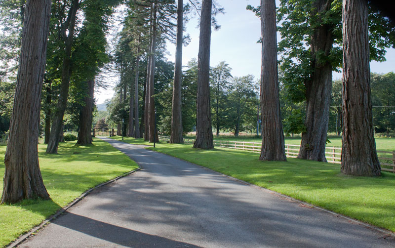
Don't pass through the gateway but go left, between the building and the river. Turn left along the roadway over the bridge to follow
|
|
the driveway. At the end of the avenue turn left and follow the road back to the car park. |
All text and images ©Graham Dean, July 2014.


