|
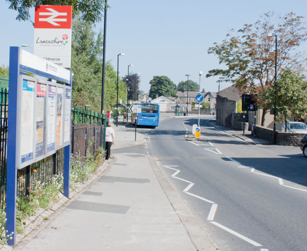
From the bus stop or the platform that is normally used for the Northern Rail Manchester - Clitheroe service you
will need to take the road …
|
|
|
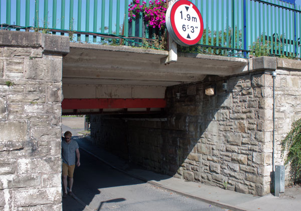
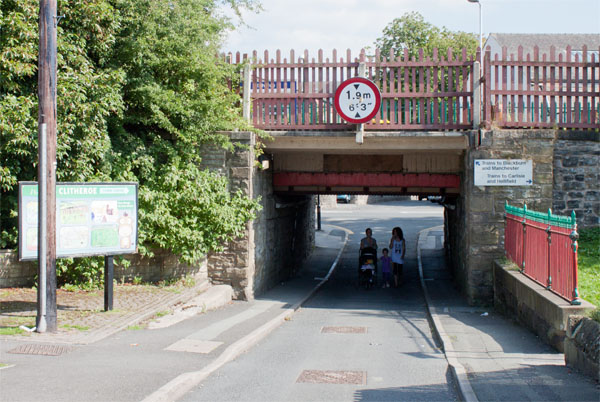
… under the railway which is between the station and the bus stop. If you are driving, you can access a long
stay car park by taking the same road under the rail track (so long as your vehicle is low enough).
If you are looking for the car park then turn right after you pass under the bridge - for the walking route turn left.
|
|
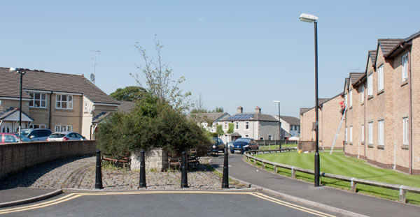
Follow the footpath round either side of the bushes shown in the picture, and then follow the road round as it
curves to the left.
|
|
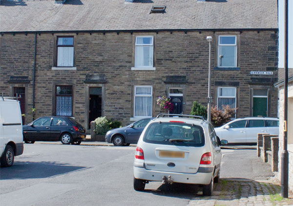
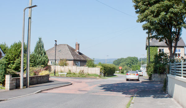
Turn right at the junction pictured.
|
|
Continue ahead, passing the end of the cul-de-sac, Swan Meadows.
|
|
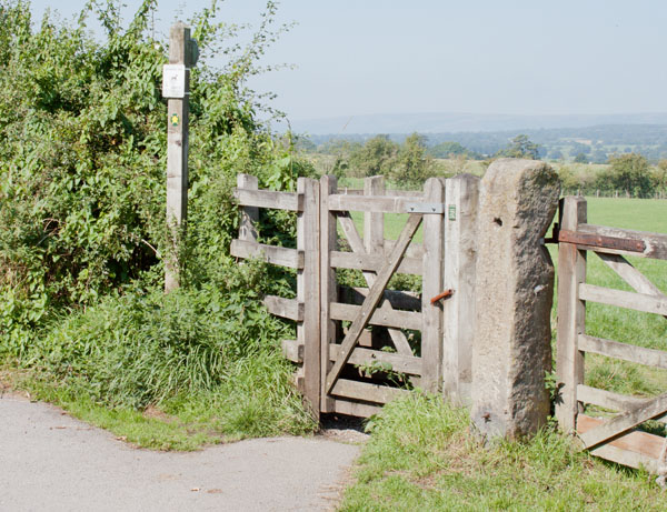
Where the lane curves to the left, go through the kissing gate on the right.
|
|
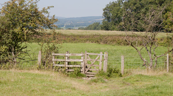
Cross the middle of the field to walk through a second kissing gate. Cross the middle of a smaller
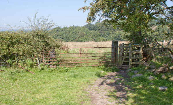
field and pass through a third kissing gate. Walk along the right hand side of the field to come to …
|
|
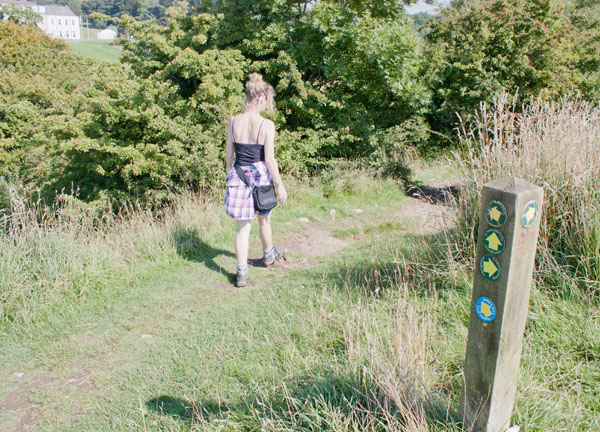
… yet another kissing gate. Take the right fork after this gate - you'll be able to see the impressive
Waddow Hall directly ahead (but at the other side of the river).
|
|
You meet a junction of a number of paths at the top of a bank. Follow the path marked Ribble Way down a
stepped path through trees.
|
|
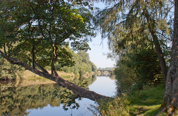
The path runs close to the river, providing views of Waddow Hall on the other bank and Brungerley Bridge ahead.
A kissing gate takes you out of the wood and along the field path by the river.
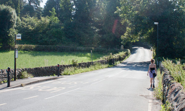
Just before the road is reached there is a small footbridge to cross, then climb steps to reach the road where you …
|
|
… turn right.
|
|
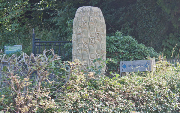
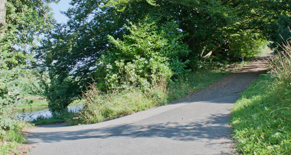
After less than 100 yards take the surfaced path on the left - it's signposted Ribble Way and there's a
sculpture on the left. The next section of path takes you along the Ribble Valley Sculpture Trail.
|
|
Unless you want to spend time finding all the sculptures, stay on the obvious main path to start with
(to the left here there is Fish Mobile and an board with information about the history of river crossings at
Brungerley, but the main path leads to the right).
|
|
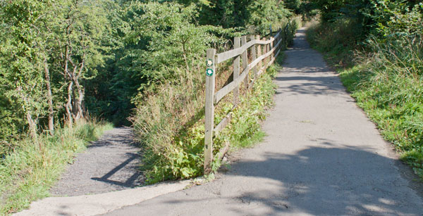
At this branching of paths, take the left hand fork which leads down to …
|
|
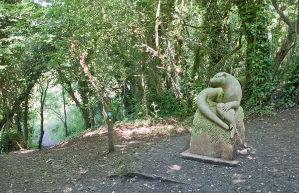
… the otter sculpture. Follow the Ribble Way pointer to the left.
|
|
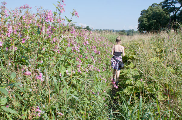
The path leaves the wood and runs close to the river bank. It emerges on West Bradford Road.
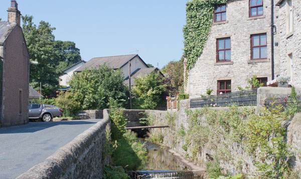
Turn left, cross the bridge and follow the road ...
|
|
… through the village.
|
|
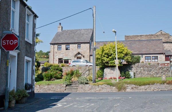
At the T- junction turn left.
Follow the road past the 3 Millstones Inn (unfortunately closed when we walked past). Leave the village and
just after the road winds round to the left, turn right on to Moor Lane (signposted for Three Rivers Camp Site
and Eaves Hall Country Hotel and also marked with a no through road sign).
|
|
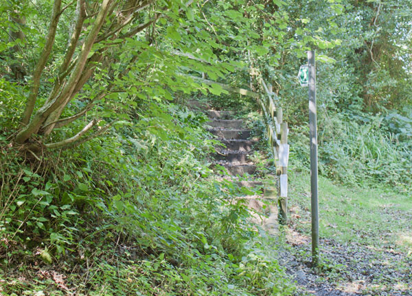
Just before reaching Eaves Hall climb these steps on the left.
|
|
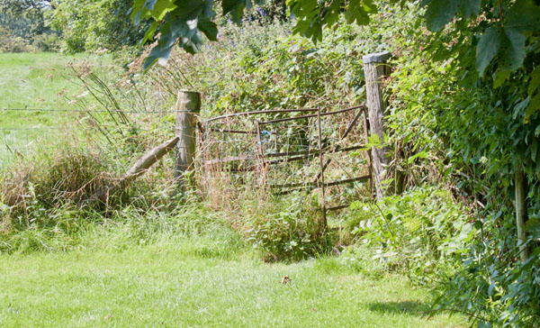
The steps take you up to a lawn. Stay close to the trees on right and enter next field by passing through
this rather ramshackled kissing gate. Walk ahead to the bushes on the opposite side of the field ...
|
|
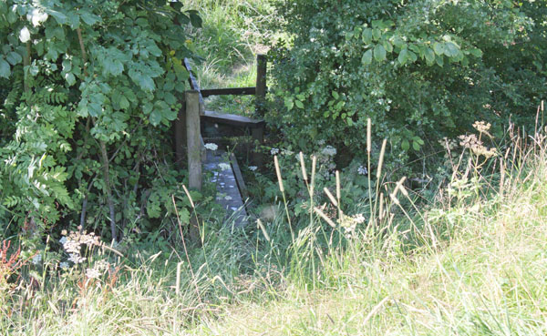
… where a small footbridge and stile take you into the next field.
|
|
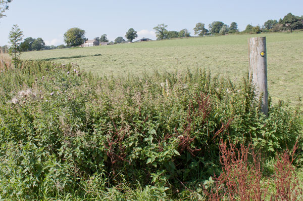
Walk along the top edge of this field, looking out for the post pictured. Walk to the right of the post to enter
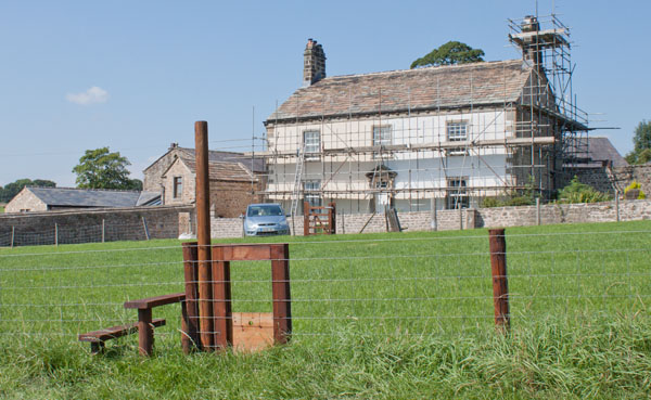
next field and then head diagonally across this towards the distant farmhouse.
|
|
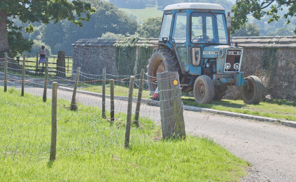
Cross the wooden stile near to the farmhouse and then pass through the wooden gate ahead. Turn left and …
|
|
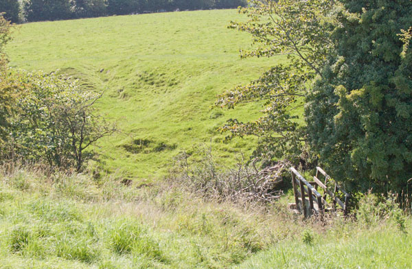
… left again into a lane. A few yards down the lane cross the stile in the fence on the right
(you may be able to make out Lin sitting on the stile in the picture - waiting patiently for me). Cross the field,
heading towards …
|
|
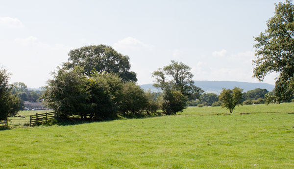
… this footbridge. Cross the bridge and head diagonally …
|
|
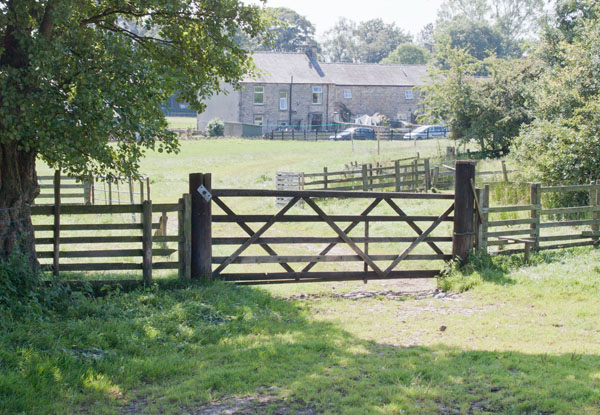
… to the left hand edge of the field. Follow the field boundary as it turns slightly left.
|
|
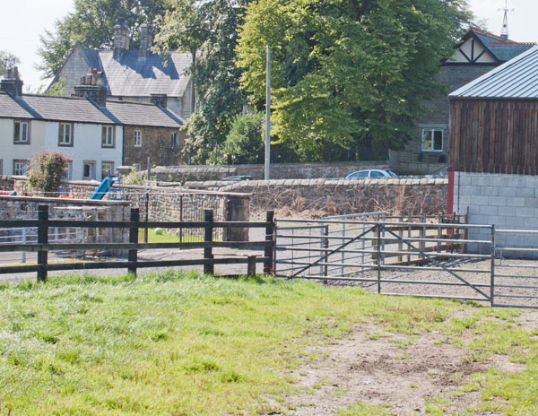
Leave the field by way of the stile to the right of a wooden gate. Go through a gateway ahead and then bear right.
|
|
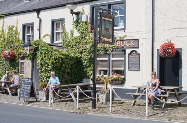
Climb the stile pictured. Turn right and then left onto the lane ahead. Almost immediately turn right to
follow the road which passes Waddington Hospital on the right (formerly almshouses, now sheltered accommodation)
and leads to ...
|
|
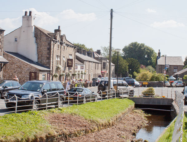
... the Higher Buck. We stopped here for a drink before turning left to follow …
|
|
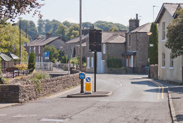
… the stream through the village.
|
|
… stay on the road by the stream, passing gardens on the right, until you reach Waddow View (there's a car park
sign on a lamppost at the corner). Turn right and walk along Waddow View. At the end of this street turn left onto
Edisford Road.
|
|
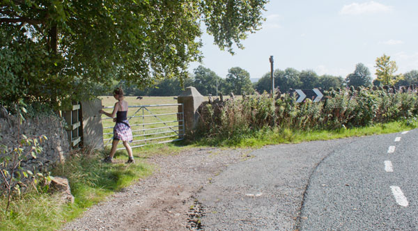
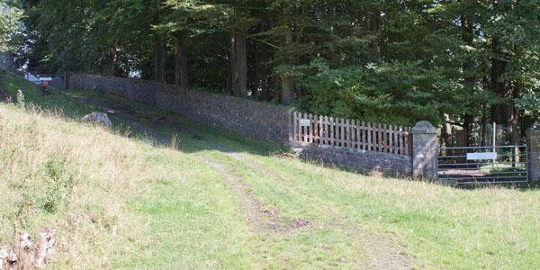
Follow the road for about half a mile. Shortly after passing the driveway to a large mansion on the right
(Fields House Farm), look out for a kissing gate next to the metal gate seen in the picture. Go through the
kissing gate and walk along the clear track.
|
|
Clear signs take you to behind the buildings at Waddow Hall.
|
|
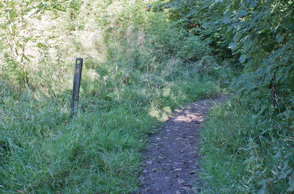
The path leads through woodland before joining the driveway to the Hall. Turn left and follow the drive.
The map shows the public right of way following a right hand branch, however when we completed the walk there
were dozens of cars and mini-buses coming and going (Waddow Hall belongs to the Girl Guide Association).
Marshalls who were helping direct traffic asked us to follow the main drive out to the road. Whether you
follow the public right of way marked on the map or the main drive, turn right and follow the road over Bungerley Bridge.
Once over the bridge, turn right to retrace your steps …
|
|
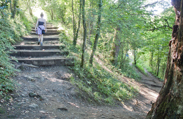
… Turn left back up the steps ...
|
|
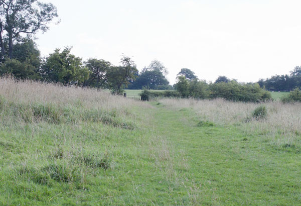
... and at the top take the path on the left (but not sharp left) …
|
|
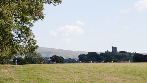
… retracing your route ...
|
|
… back to the bridge under the railway at Clitheroe Station.
|
All text and images ©Graham Dean, September 2013.


