|
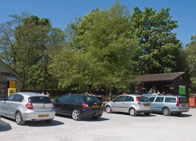
From the car park, follow the path behind the toilet block, which leads to the village.
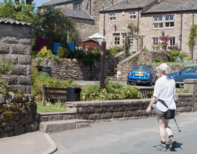
Cross the footbridge opposite the Pendle Inn and continue in the same direction where the footpath joins the road.
|
|
|
Just before the road crosses a small stream, cross the road and take the waymarked footpath on the left.
Go through a kissing gate and cross a footbridge.
|
|
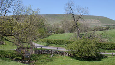
The path leads over a stile onto another footbridge. Once you have crossed this, turn left to follow a farm track.
|
|
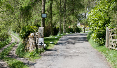
Where the track divides, follow the better surfaced right hand fork (it's very well signposted,
both on the gatepost and the surface of the track).
|
|
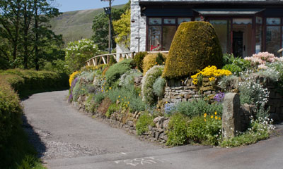
At the next fork, take the left hand track (again, directions are painted on the track surface). Just behind the cottage pictured there is a metal kissing gate. Go through this to follow a path which starts off narrow and cobbled.
The path leads over a footbridge and through a number of kissing gates.
|
|
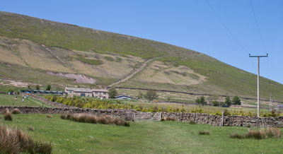
The clear path leads through more kissing gates to the farm building pictured. It passes to the left and then behind the buildings.
|
|
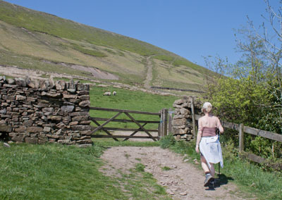
Turn left when you meet another path, then proceed through one final kissing gate before ascending the
stepped path leading diagonally up the hill.
|
|
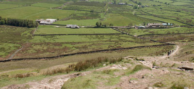
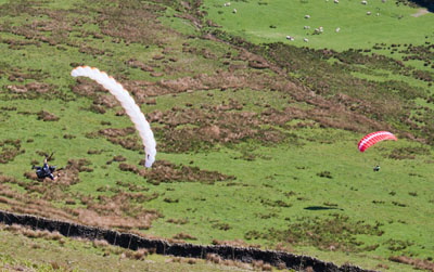
We paused to have lunch part way up - we admired the view back down the path and were also treated to…
|
|
… a ringside seat viewing these two paragliders. Click here to see the view from the helmet of one of the guys.
|
|
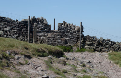
Continue up the path until you can see a stone wall with a stile in front of you. Don't cross the stile. Turn left and follow the wall to the next stile.
|
|
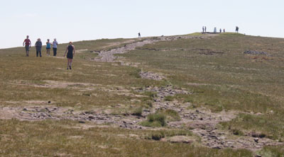
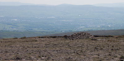
Again, don't cross the stile. Turn left to follow the clear path to the trig point at the summit. The Big End of Pendle is a plateau, with many paths and tracks, some of which don't
lead anywhere. In low cloud it is very easy to become disoriented if you don't have a compass or GPS unit.
|
|
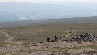
From the trig point follow the track and line of cairns leading south.
|
|
Where the track divides take the right hand fork. Parts of the route are clear on the ground...
|
|
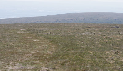
… but other parts are not. The route is marked by cairns, but they are quite well-spaced.
|
|
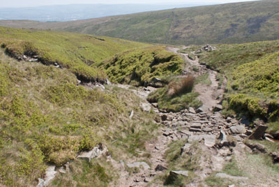
You begin to descend to Boar Clough.
|
|
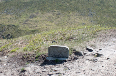
The path divides when you come to the route marker shown. Both paths lead to the foot of Boar Clough,
where it joins Ogden Clough, but the path on the left is probably the intended route.
|
|
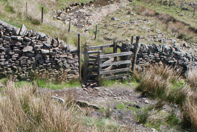
At the bottom of the hill turn left to cross a stream and head towards the kissing gate shown above. Go through the gate (and two more) continuing to follow the path…
|
|
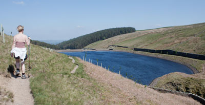
... which takes you above Upper Ogden reservoir. At the end
of the reservoir the path winds down the side of the dam where there are further kissing gates.
|
|
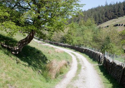
Follow this lane until…
|
|
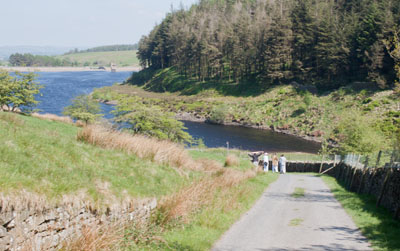
… just before you reach the lower reservoir. Just beyond the point where the figures can be seen in the photograph go through a gate on right, cross a stream and descend steps.
|
|
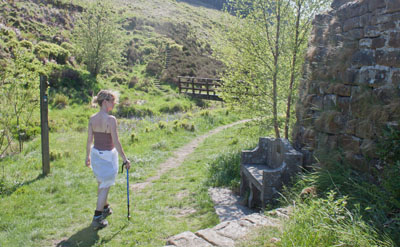
Cross the footbridge shown above and climb steps.
|
|
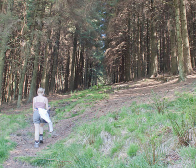
Enter the pine plantation shown and follow the path through the woods to…
|
|
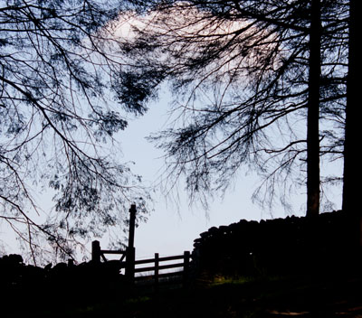
… a gate at the top of the hill. Leave the woods and turn right, following the path by the stone wall.
When you reach the edge of the woods, cross a stile and turn left.
The path crosses a partly ruined stone wall then a gated stile in the next wall.
|
|
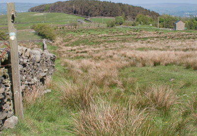
Continue to keep the stone wall on your left until you come to a metal gate with a wooden post and
waymarker close by. Walk diagonally right away from the wall (there is no clear path on the ground).
|
|
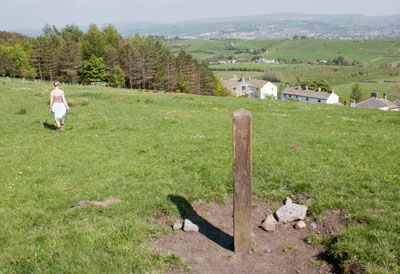
You will soon see a marker post in the middle of the field. Walk towards this post -
by the time you reach it you will be able to see the rooftops of buildings in Newchurch.
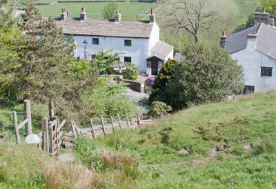
Walk towards a yellow waymark disk on the fence ahead and follow the fence down to…
|
|
… a gate, leading to a narrow path. This leads to a kissing gate and then steps to emerge on
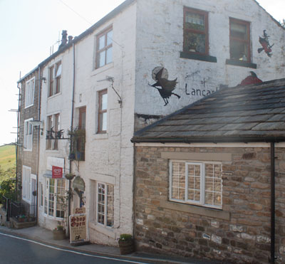
the road. Turn left and then take the left fork in road to pass…
|
|
… the famous Witches Galore shop and tearoom (this photograph is taken looking back after we'd had a pot of
tea in the tearoom).
Walk up the road. Where the road bends to the left, take the track on the right and then take the left hand fork in the track.
This leads down to renovated farm buildings.
|
|
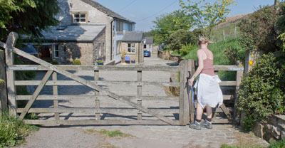
Walk past the first building and go through a wooden gate.
Before passing the next building turn left to go through another wooden gate and walk down a narrow footpath.
|
|
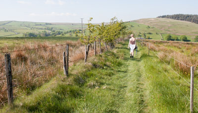
The path leads between post and wire fences. At the end of the path cross a stile and turn left onto a lane.
Where the lane emerges onto the road turn right, then right again to return to the car park.
|


