A circular walk from Ribchester to Hothersall Lodge (approx 3.9 miles)


Map: Sheet 287 West Pennine Moors
Start: Visitors car park in Ribchester(SD649352)
Route: Click here to view the route superimposed on GoogleEarth (GoogleEarth must be installed on your computer in order to view - click here to download GoogleEarth).

An easy route following bridleways (there are gates at each field boundary, rather than stiles) along tracks and across fields.
More info: The Ribble - source to sea part 13
from Wikipedia
Refreshments: Tea shop and pubs in Ribchester.

route profile
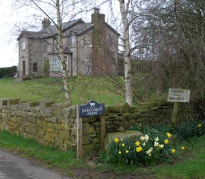
Parsonage Farm, near Ribchester Leave the car park and turn right along the track, away from the village. Follow the track round the to the left and then at junction of tracks turn right (signed for Parsonage Farm). The track passes through two fields before going up a slight uphill to the farm buildings. Follow the footpath sign to the right before reaching the main farmhouse (shown in photograph). The bridlepath crosses a number of fields - where there is a group of trees surrounding a pond, leave this field by a gate (not the stile which is to the right of the gate). Continue to follow the bridlepath signs through gates at each field boundary.

After passing a large house on left the path meets a lane with farm buildings ahead. Turn left, again following bridlepath signs. the surfaced track passes under overhead power lines. Where the surfaced track turns to the left carry straight on along grassy track between wire fence. The path leads to a large field leading downhill. Walk through between stone gateposts and continue downhill until you reach a track by the fence at the bottom of the field. Follow the track past Hothersall Hall Farm.

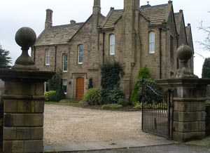
Hothersall Hall on the Ribble way At junction with another bridlepath (Ribble Way) turn left. Go through gates past Hothersall Hall. The path leads up through a gateway and continues uphill.
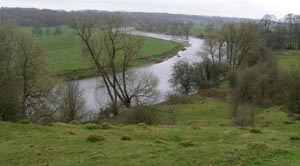
view back to River Ribble Near the top of the slope, look back to admire the view down the river. The path skirts a wooded area, before descending. Continue straight ahead on the track, which leads past the church and Roman Museum into the village. Follow the road round to the left, then turn left to return to the car park.

Other walks near here:

  • in Pendle's Shadow - approx 5½ miles
  • Around Pendle's "Little End" - approx 6 miles
  • Ribchester, Duddel Hill and Duddel Wood - approx 6 miles
  • North east of Slaidburn - Forest of Bowland - 5.5 miles
  • around Hurst Green includes a section of the Ribble Way - approx 5 miles

  • Back to: