|
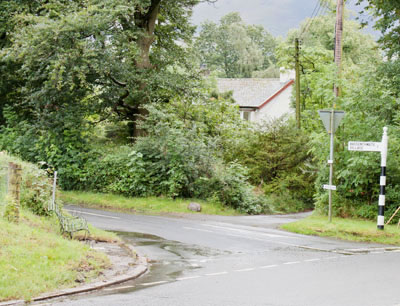
From the bus stop, walk south and cross a minor road and then turn left to follow the next minor road, towards Bassenthwaite village.
|
|
|
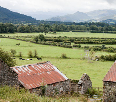
Even before the walk climbs there are great views to the south.
|
|
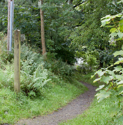
After walking for nearly 1 mile we followed this narrow path which leads down to a footbridge.
Cross the bridge and turn left along a village road.
|
|
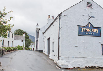
Turn right when you come to the Sun Inn. Follow the road as it bends round to the right.
|
|
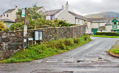
When the road enters the village green turn left to follow Back Hill, the narrow road shown in the photograph.
This road bends round to the left, passes houses, then turns to the right, when it becomes a grassy track.
Go through a wooden gate,
with a finger post at the left. Walk straight ahead, following the sign for Burthwaite.
|
|
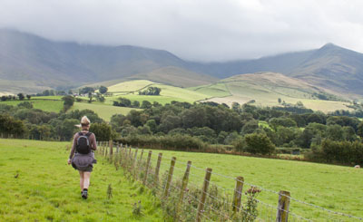
Walk along the side of the field, following the fence. The map shows that the footpath cuts the corner,
but as there were no visible signs of a path,
we stayed close to the field boundary to the end of the field, followed it round to the left… |
|
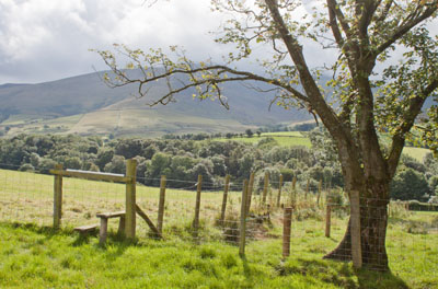
Walk along the side of the field, following the fence. The map shows that
the footpath cuts the corner, but as there were no visible signs of a path,
we stayed close to the field boundary to the end of the field, followed it round to the left…
|
|
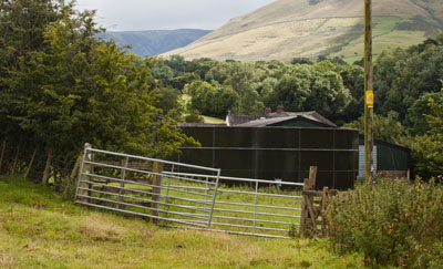
… and then crossed a stile on our right. We again followed the field boundary which took us
through a wooden gate next to double metal gates. Once through the wooden gate, we again followed
the field boundary, which was now on our left.
We left this field through a wooden gate and turned left to follow a minor road.
|
|
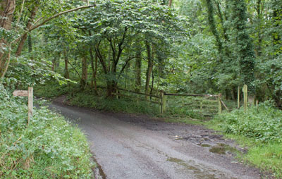
After just less than a quarter of a mile, where the road enters woodland,
there are footpath signs on both sides of the road. We followed the one on the right.
|
|
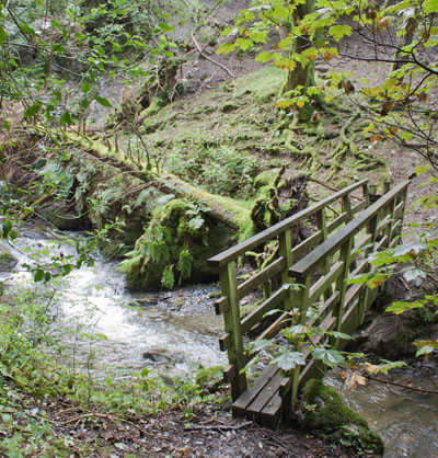
This path led through the woods down to a wooden footbridge and then up a stepped path.
The path, which was quite badly eroded in places, led round to the right before emerging from the woods.
|
|
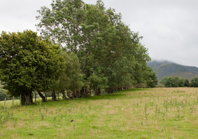
On the ground the path appeared to continue straight ahead, but the public right of way which we followed was
alongside the field boundary on the left. After about 250 metres you leave the field, cross a minor road, pass
through a wooden gate and follow a farm track.
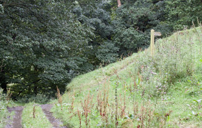
The track passes farm buildings on the left, and then shortly after turning in front of a building on the right…
|
|
… the footpath leaves the track, leading up to the right. At the top of the slope there was a sign saying,
Permitted Footpath Avoiding Farm.
All too often farms mean noisy dogs, so we followed the well-trodden path alongside the fence.
|
|
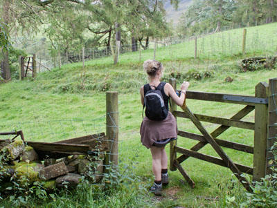
This led us to the two gates pictured. After passing through the second gate we turned right,
following a track to a stile alongside a metal gate. We climbed the stile and continued ahead…
|
|
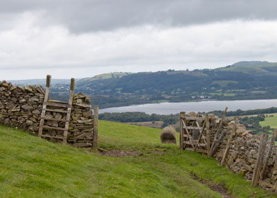
… until we came to the ladder stile and gate pictured. The official right of way shown on our map
should continue in the same direction, pass into another field, before passing back to this field. So
I have to confess that we passed through the gate shown, walked ahead until the route started to drop downhill.
We then skirted the contours to the middle of the field, before turning left and walking up the field until we came to …
|
|
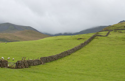
… the gate and stile pictured on our left. Once over the stile, the path curved round to the south.
|
|
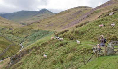
Continue along the path to a stile and gate. This field boundary marks the start of Access Land.
We continued to follow the clear track up the valley, taking the right fork where the path divided.
A few metres after this, at a point close to depressions in the ground (if it were limestone country I
would have said they were shakeholes) we followed a narrow path…
|
|
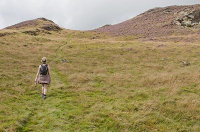
… on our right, leading steeply up to the top of the knoll called Watches.
|
|
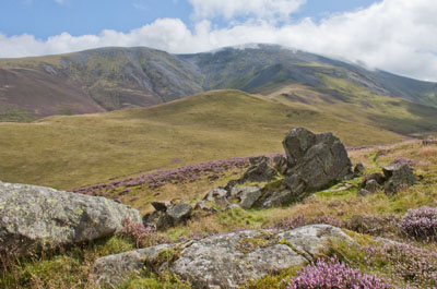
The view from the top of small summits can be equally as rewarding as that from the higher peaks. This is the view from Watches toward Skiddaw, during one of the few periods on that day when clouds weren't obscuring the mountain. The opposite direction provided dramatic views over Bassenthwaite Lake.
From the top of Watches we followed the path leading south until…
|
|
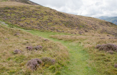
... we arrived at a junction of routes. We turned sharp right to follow…
|
|
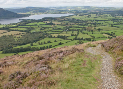
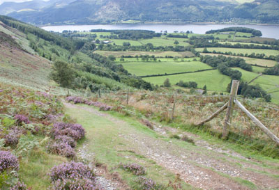
… a narrow, stony path. After a few yards this turned sharp left to continue downhill
(don't follow the grassy path which skirts the contours).
|
|
Where the path meets a wider path turn left. This path follows a fence on your right and leads down to a narrow wooden gate.
|
|
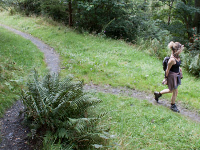
Shortly after passing through the gate the path divides. Take the right fork, which then zig-zags
down to a stile and through woodland to emerge on the main road.
Turn right and follow the suggested footpath in front of the Ravenstone Manor Hotel (in reality this is the hotel drive).
|
|
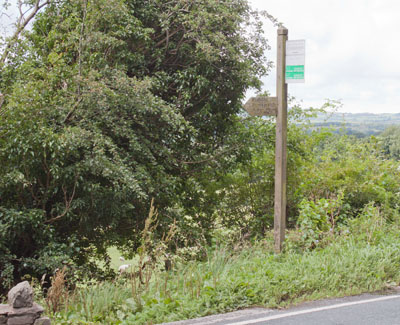
Where the hotel drive re-joins the road look for the footpath sign on the bus stop post opposite.
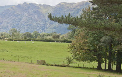
Follow this to a stile next to a metal gate.
|
|
Climb the stile and follow the path through a series of kissing gates to meet a minor road opposite the driveway to
St Bega's Church. Turn right to follow the road for about half a mile. |
|
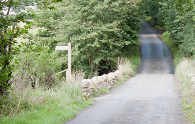
Look out for the footpath sign pictured - it's just before the road bridges a stream. Descend wooden steps to a muddy path.
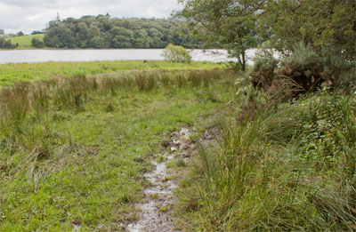
The path passes through a narrow wooden gate, over a short length of boardwalk and a couple of footbridges. Somewhere along this length of path is a sign to say that it is liable to flooding!
There is one final gate or stile before…
|
|
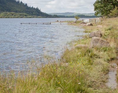
… the path emerges by the side of the lake. The path skirts Bowness Bay, following the edge of the lake round to the west.
|
|
As the lake shore curves to the north and then north east, you pass through a series of gates in fences which end submerged in the lake.
|
|
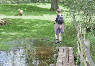
Follow a stretch of boardwalk, which isn't quite long enough. Stepping stones have been placed at the far end -
but on the day we completed the walk one additional stone would have been useful!
We then crossed a semi-submerged stile, followed by another section of boardwalk,
before the path headed away from the shore. One further stile led us to a stony path…
|
|
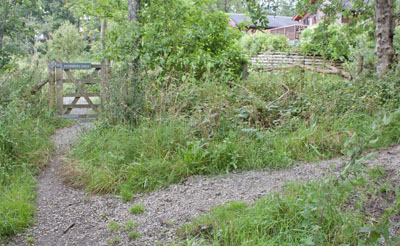
… leading towards a site with log cabins. Turn right here to follow the path through woodland to emerge where a
minor road becomes a driveway.
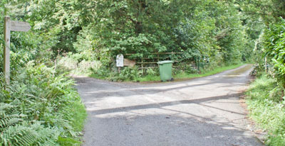
Turn left to follow the driveway until…
|
|
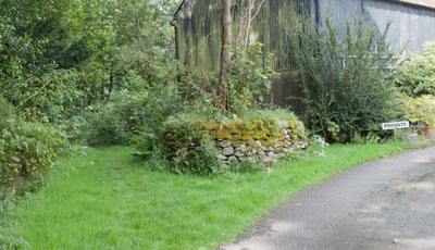
… it divides. Take the right fork as indicated by the footpath sign. Follow the drive until…
|
|
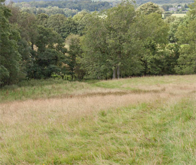
… it sweeps round to the right. At this point continue ahead, following the grassy path.
Walk through a wooded area to a gateway. Go through the gate…
|
|
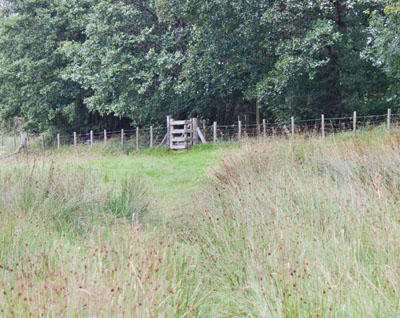
… and follow the grassy path down to the next gateway. Cross a wide wooden bridge and walk through the next field,
in which the narrow path leads between clumps of rushes…
|
|
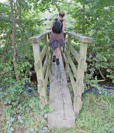
… to a kissing gate. Once through this gate the path leads…
|
|
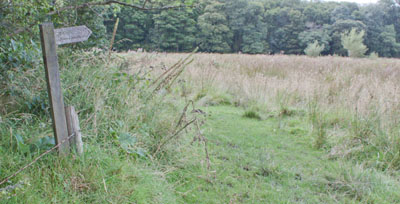
… to a narrow wooden footbridge. After the bridge cross a stile and turn left to follow the fence where you'll spot…
|
|
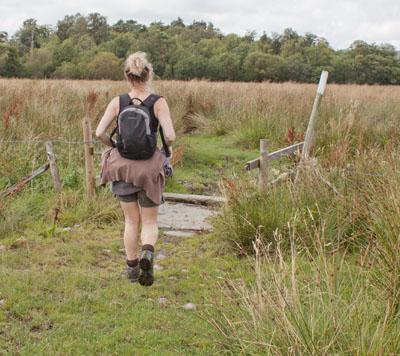
… this footpath sign. Turn right to follow the direction indicated. It leads to a white painted pole.
|
|
The pole marks the position of a bridge. Continue walking towards the woodland.
Before reaching the trees there is another bridge and the path bears to the right,
towards the corner of the woodland.
|
|
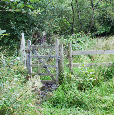
Pass through the gate pictured and continue to follow the path which leads to …
|
|
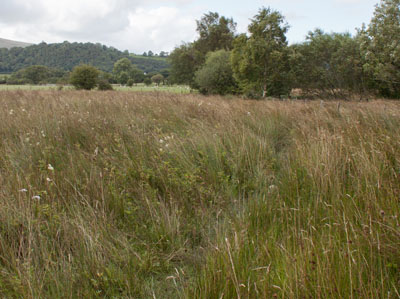
… another field of rushes . At the far end of this field there is a stile which crosses a fence. Cross the stile and
you will be able to see the next stile.
|
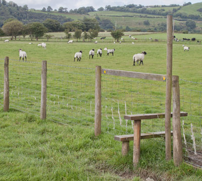
|
Cross this and turn left to follow the fence. At the end of the field walk through a metal gate and
continue walking in the same direction.
|
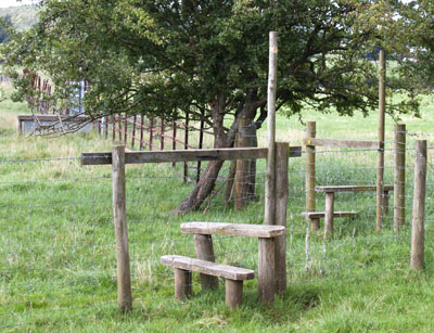
|
Follow the field boundary on the right which leads to the two stiles pictured. Cross the first of
these and then follow the metal
fence on right. Cross into the next field and head towards…
|
|
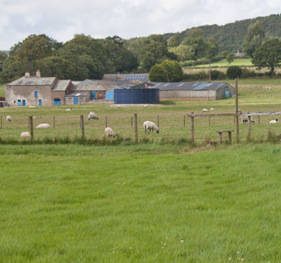
… the stile opposite. Continue uphill, crossing a couple of fields separated by stiles. The final stile leads into a
field used as a small caravan/camp site. Turn right on to the tarmac track, through a gate. Follow the track out onto
the road. Turn left to return to the starting point.
|


